Transport Functions
Multimodal
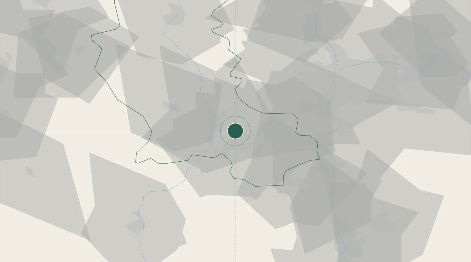
Hub Profile
Place type
Populated place
Region
Occitanie
Population
438
Time zone
Europe/Paris
Elevation
301 m
Location
Nearby Logistics Neighbours
Cities
- 1Chateaucreux/Saint-Etienne8 km
- 2Saint-Étienne8 km
- 3Bonson11 km
- 4Le Chambon11 km
- 5La Ricamarie11 km
Ports
- 1Fos235 km
- 2Port Saint Louis Du Rhone238 km
- 3Port-de-Bouc239 km
- 4Sete239 km
- 5Marseille255 km
Airports
Trade Zones
- 1ZFU Saint-Etienne10 km
- 2ZFU Vénissieux44 km
- 3ZFU Lyon 9e46 km
- 4ZFU Rillieux-la-Pape53 km
- 5ZFU Vaulx-en-Velin53 km
DatabookThe Record of Consolidated Knowledge
France beyond logistics?