Transport Functions
Road
Multimodal
Hub Profile
Place type
Populated place
Region
Rhône-Alpes
Population
7,997
Time zone
Europe/Paris
Elevation
579 m
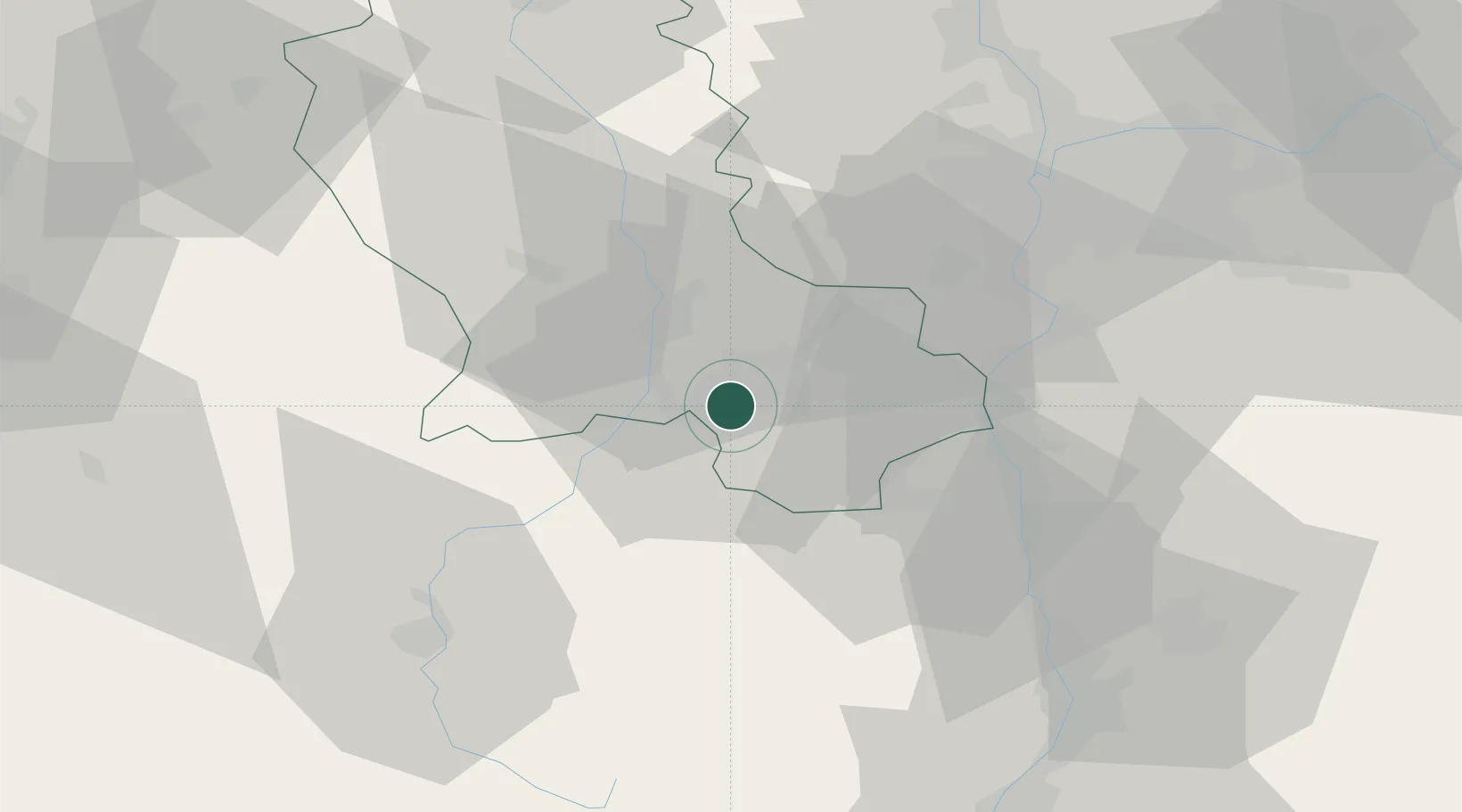
Location
Nearby Logistics Neighbours
Cities
- 1Chateaucreux/Saint-Etienne4 km
- 2Saint-Étienne5 km
- 3Saint-Just-Malmont8 km
- 4Lussan11 km
- 5Saint-Didier-en-Velay13 km
Ports
- 1Fos224 km
- 2Port Saint Louis Du Rhone227 km
- 3Port-de-Bouc228 km
- 4Sete229 km
- 5Marseille245 km
Airports
- 1Saint-Étienne-Bouthéon Airport17 km
- 2Lyon Bron Airport58 km
- 3Le Puy-Loudes Airfield59 km
- 4Lyon Saint-Exupéry Airport67 km
- 5Valence-Chabeuil Airport71 km
Trade Zones
- 1ZFU Saint-Etienne6 km
- 2ZFU Vénissieux50 km
- 3ZFU Lyon 9e54 km
- 4ZFU Vaulx-en-Velin61 km
- 5ZFU Rillieux-la-Pape61 km
DatabookThe Record of Consolidated Knowledge
France beyond logistics?