UN/LOCODE hub · France
FRS42
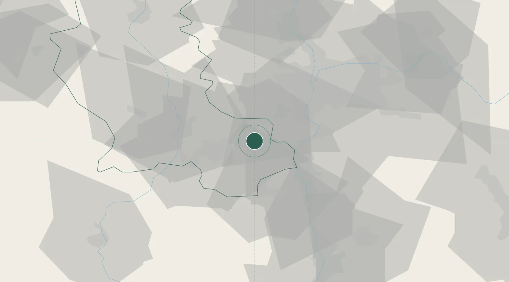
Saint-Paul-en-Jarez
45.4833°, 4.5833°
3,978
Population
1
Transport functions
Transport Functions
Multimodal
Hub Profile
Place type
Populated place
Region
Rhône-Alpes
Population
3,978
Time zone
Europe/Paris
Elevation
386 m
Location
Nearby Logistics Neighbours
Cities
- 1Lorette4 km
- 2Genilac6 km
- 3Châteauneuf8 km
- 4Trèves8 km
- 5Vérin14 km
Ports
- 1Fos231 km
- 2Port-de-Bouc234 km
- 3Port Saint Louis Du Rhone234 km
- 4Sete242 km
- 5Marseille249 km
Airports
Trade Zones
- 1ZFU Saint-Etienne23 km
- 2ZFU Vénissieux32 km
- 3ZFU Lyon 9e37 km
- 4ZFU Vaulx-en-Velin42 km
- 5ZFU Rillieux-la-Pape44 km
DatabookThe Record of Consolidated Knowledge
France beyond logistics?