Transport Functions
Rail
Road
Hub Profile
Region
42
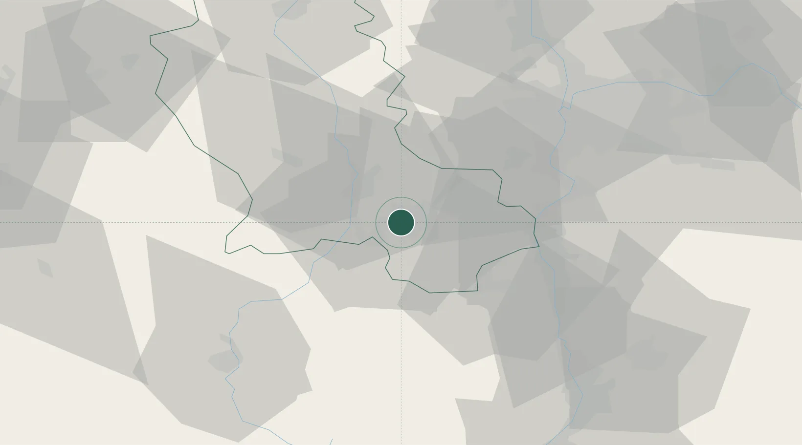
Location
Nearby Logistics Neighbours
Cities
- 1Saint-Étienne1 km
- 2La Ricamarie4 km
- 3Lussan8 km
- 4Saint-Just-Malmont12 km
- 5Bonson15 km
Ports
- 1Fos228 km
- 2Port Saint Louis Du Rhone231 km
- 3Port-de-Bouc231 km
- 4Sete233 km
- 5Marseille248 km
Airports
- 1Saint-Étienne-Bouthéon Airport14 km
- 2Lyon Bron Airport55 km
- 3Le Puy-Loudes Airfield62 km
- 4Lyon Saint-Exupéry Airport64 km
- 5Valence-Chabeuil Airport73 km
Trade Zones
- 1ZFU Saint-Etienne7 km
- 2ZFU Vénissieux47 km
- 3ZFU Lyon 9e50 km
- 4ZFU Vaulx-en-Velin57 km
- 5ZFU Rillieux-la-Pape57 km
DatabookThe Record of Consolidated Knowledge
France beyond logistics?