Transport Functions
Rail
Road
Hub Profile
Place type
Populated place
Region
Rhône-Alpes
Population
484
Time zone
Europe/Paris
Elevation
318 m
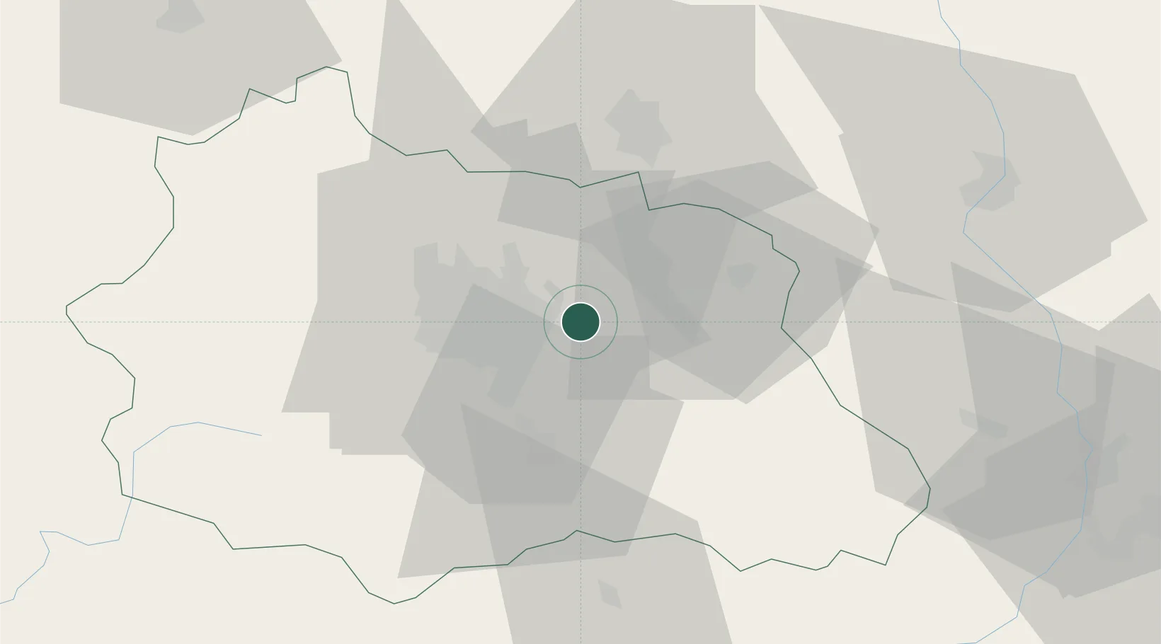
Location
Nearby Logistics Neighbours
Cities
- 1Joze8 km
- 2Glaine-Montaigut8 km
- 3Pont-du-Château8 km
- 4Clermont-Ferrand9 km
- 5Chappes11 km
Ports
- 1Sete268 km
- 2Fos292 km
- 3Port Saint Louis Du Rhone293 km
- 4Port-de-Bouc297 km
- 5Port-La-Nouvelle310 km
Airports
Trade Zones
- 1ZFU Clermont-Ferrand20 km
- 2ZFU Saint-Etienne86 km
- 3ZFU Lyon 9e114 km
- 4ZFU Vénissieux118 km
- 5ZFU Rillieux-la-Pape118 km
DatabookThe Record of Consolidated Knowledge
France beyond logistics?