UN/LOCODE hub · France
FRCFE
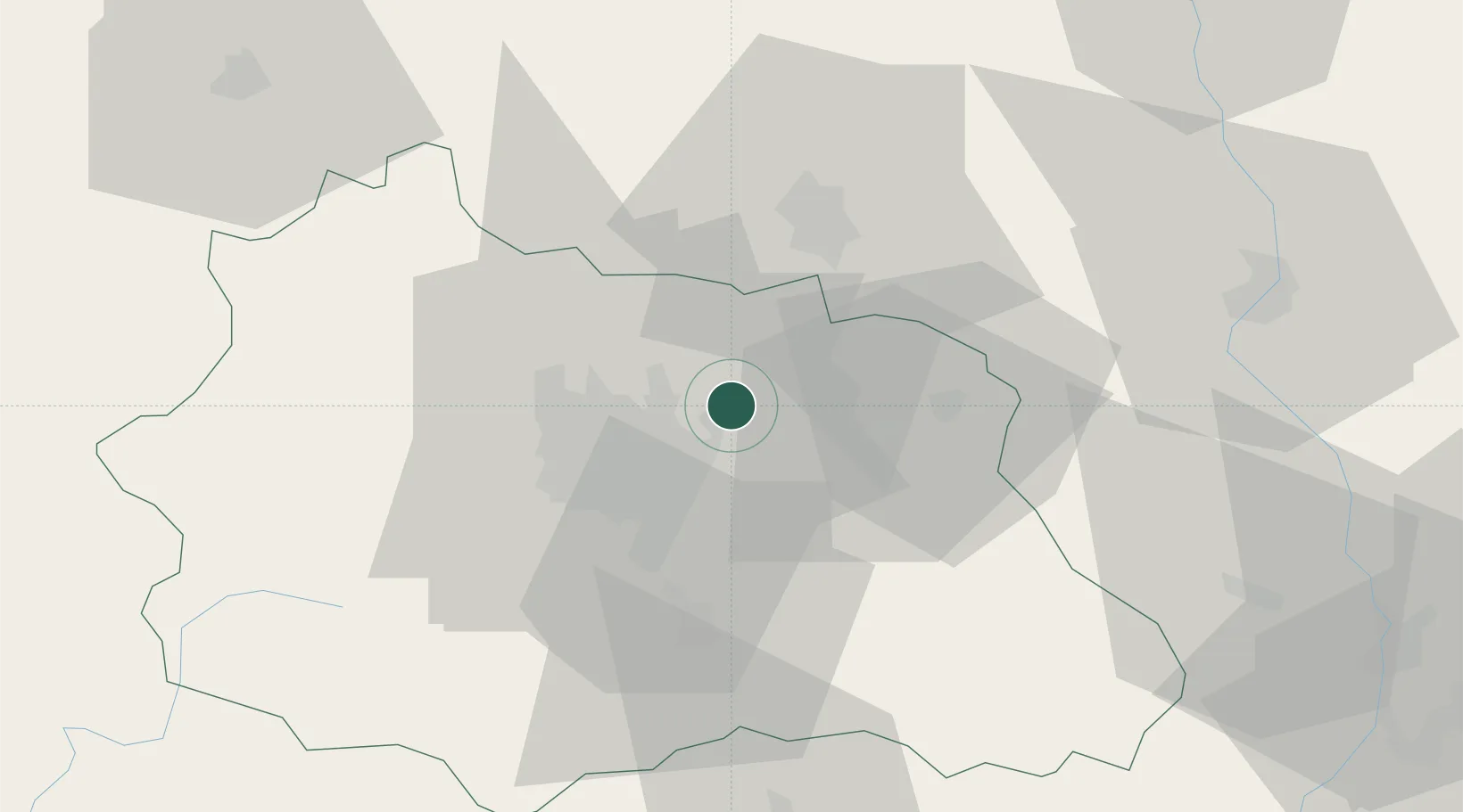
Clermont-Ferrand
45.8839°, 3.3138°
147,865
Population
4
Transport functions
Transport Functions
Rail
Road
Airport
Postal
Hub Profile
Place type
Provincial seat
Region
Rhône-Alpes
Population
147,865
Time zone
Europe/Paris
Elevation
406 m
Logistics facilities
2
Location
Nearby Logistics Neighbours
Cities
- 1Joze2 km
- 2Chappes7 km
- 3Seychalles9 km
- 4Pont-du-Château13 km
- 5Dorat13 km
Ports
- 1Sete278 km
- 2Fos301 km
- 3Port Saint Louis Du Rhone302 km
- 4Port-de-Bouc306 km
- 5Ambes315 km
Airports
- 1Clermont-Ferrand Auvergne airport16 km
- 2Vichy-Charmeil Airport33 km
- 3Roanne-Renaison Airport56 km
- 4Saint-Yan Airport80 km
- 5Montluçon-Guéret Airport82 km
Trade Zones
- 1ZFU Clermont-Ferrand21 km
- 2ZFU Saint-Etienne92 km
- 3ZFU Lyon 9e116 km
- 4ZFU Rillieux-la-Pape120 km
- 5ZFU Vénissieux121 km
DatabookThe Record of Consolidated Knowledge
France beyond logistics?