UN/LOCODE hub · France
FRZKF

Joze

45.8667°, 3.3167°
963
Population
1
Transport functions

Transport Functions

Multimodal
UN/LOCODE

Hub Profile

Place type
Populated place
GeoNames
Region
Rhône-Alpes
GeoNames
Population
963
GeoNames
Time zone
Europe/Paris
GeoNames
Elevation
313 m
GeoNames

Location

Location of FRZKF
Natural Earth 10m (public domain) · Rhône-Alpes · FRZKF · 45.87, 3.32GoogleOSMYandex

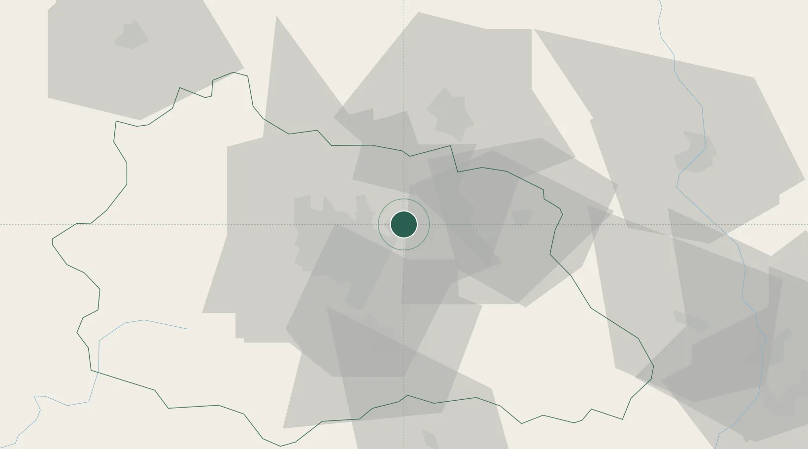
Nearby Logistics Neighbours

Cities
  1. 1Clermont-Ferrand2 km
  2. 2Chappes7 km
  3. 3Seychalles8 km
  4. 4Pont-du-Château11 km
  5. 5Dorat13 km
Nearest neighbours — logibook spatial index (haversine) over the source coordinates
Ports
  1. 1Sete276 km
  2. 2Fos299 km
  3. 3Port Saint Louis Du Rhone301 km
  4. 4Port-de-Bouc304 km
  5. 5Ambes315 km
Nearest neighbours — logibook spatial index (haversine) over the source coordinates
Airports
  1. 1Clermont-Ferrand Auvergne airport15 km
  2. 2Vichy-Charmeil Airport34 km
  3. 3Roanne-Renaison Airport57 km
  4. 4Saint-Yan Airport81 km
  5. 5Montluçon-Guéret Airport84 km
Nearest neighbours — logibook spatial index (haversine) over the source coordinates
Trade Zones
  1. 1ZFU Clermont-Ferrand21 km
  2. 2ZFU Saint-Etienne91 km
  3. 3ZFU Lyon 9e116 km
  4. 4ZFU Rillieux-la-Pape120 km
  5. 5ZFU Vénissieux120 km
Nearest neighbours — logibook spatial index (haversine) over the source coordinates
DatabookThe Record of Consolidated Knowledge
France beyond logistics?
Browse databook

All Sources

LocationsUN/LOCODE
UN/LOCODE — free
LocationsGeoNames
CC BY 4.0
Portsthe NGA World Port Index
Public domain (US gov)
AirportsOurAirports
Public domain
Trade Zonesthe World Bank SEZ database
CC BY 4.0
Trade ZonesOpen Zone Map
CC BY
← France locations