Transport Functions
Road
Multimodal
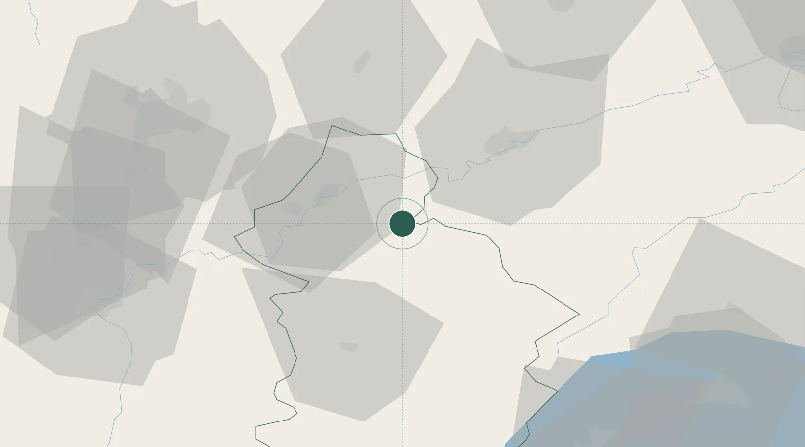
Hub Profile
Place type
Populated place
Region
Bourgogne
Population
361
Time zone
Europe/Paris
Elevation
223 m
Location
Nearby Logistics Neighbours
Cities
- 1Cramans4 km
- 2Liesle8 km
- 3Les Arsures9 km
- 4Molamboz10 km
- 5Mathenay10 km
Ports
- 1Savona370 km
- 2Rada Di Vado373 km
- 3Genova383 km
- 4Monaco389 km
- 5Nice389 km
Airports
- 1Dole Tavaux Airport22 km
- 2Dijon Longvic airport55 km
- 3Vesoul-Frotey Airfield78 km
- 4Les Eplatures Airport82 km
- 5Geneva Cointrin International Airport92 km
Trade Zones
DatabookThe Record of Consolidated Knowledge
France beyond logistics?