UN/LOCODE hub · France
FRDDM

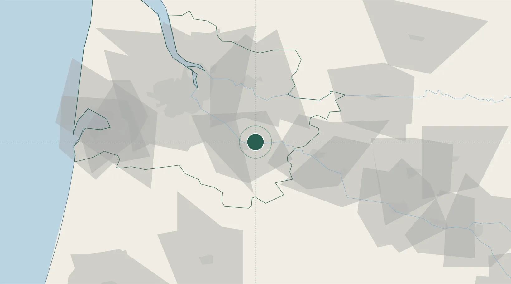
Saint-Pierre-d'Aurillac

44.5833°, -0.2000°
1,312
Population
2
Transport functions

Transport Functions

Road
Multimodal
UN/LOCODE

Hub Profile

Place type
Populated place
GeoNames
Region
Nouvelle-Aquitaine
GeoNames
Population
1,312
GeoNames
Time zone
Europe/Paris
GeoNames
Elevation
18 m
GeoNames

Location

Location of FRDDM
Natural Earth 10m (public domain) · Nouvelle-Aquitaine · FRDDM · 44.58, -0.20GoogleOSMYandex

Nearby Logistics Neighbours

Cities
  1. 1Caudrot4 km
  2. 2Bieujac5 km
  3. 3Langon5 km
  4. 4Castets-en-Dorthe5 km
  5. 5Semens6 km
Nearest neighbours — logibook spatial index (haversine) over the source coordinates
Ports
  1. 1Bordeaux43 km
  2. 2Ambes55 km
  3. 3Blaye71 km
  4. 4Pauillac81 km
  5. 5Le Verdon127 km
Nearest neighbours — logibook spatial index (haversine) over the source coordinates
Airports
  1. 1Bordeaux–Mérignac Airport49 km
  2. 2Bergerac Dordogne-Périgord airport63 km
  3. 3Aérodrome d'Arcachon-La Teste-de-Buch72 km
  4. 4Cazaux (BA 120) Air Base74 km
  5. 5Agen La Garenne airport78 km
Nearest neighbours — logibook spatial index (haversine) over the source coordinates
Trade Zones
  1. 1ZFU Hauts de Garonne40 km
  2. 2Port de Bordeaux45 km
  3. 3ZFU Toulouse170 km
  4. 4ZFU La Rochelle193 km
  5. 5Depósito Franco de Pasajes (Guipúzcoa)197 km
Nearest neighbours — logibook spatial index (haversine) over the source coordinates
DatabookThe Record of Consolidated Knowledge
France beyond logistics?
Browse databook

All Sources

LocationsUN/LOCODE
UN/LOCODE — free
LocationsGeoNames
CC BY 4.0
Portsthe NGA World Port Index
Public domain (US gov)
AirportsOurAirports
Public domain
Trade Zonesthe World Bank SEZ database
CC BY 4.0
Trade ZonesOpen Zone Map
CC BY
← France locations