Transport Functions
Port
Rail
Road
Multimodal
Hub Profile
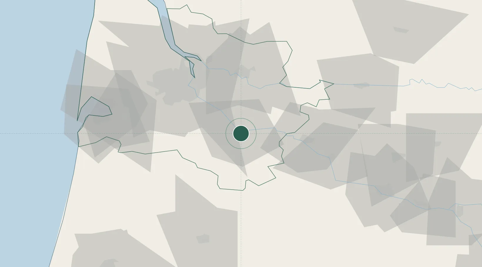
Place type
District seat
Region
Nouvelle-Aquitaine
Population
7,102
Time zone
Europe/Paris
Elevation
22 m
Location
Nearby Logistics Neighbours
Cities
- 1Toulenne1 km
- 2Saint-Pierre-d'Aurillac5 km
- 3Roaillan6 km
- 4Bieujac7 km
- 5Sauternes7 km
Airports
Trade Zones
- 1ZFU Hauts de Garonne40 km
- 2Port de Bordeaux46 km
- 3ZFU Toulouse171 km
- 4Depósito Franco de Pasajes (Guipúzcoa)191 km
- 5ZFU La Rochelle194 km
DatabookThe Record of Consolidated Knowledge
France beyond logistics?