UN/LOCODE hub · France
FRCDH

Castets-en-Dorthe

44.5500°, -0.1500°
1,219
Population
2
Transport functions

Transport Functions

Port
Road
UN/LOCODE

Hub Profile

Place type
Populated place
GeoNames
Region
Nouvelle-Aquitaine
GeoNames
Population
1,219
GeoNames
Time zone
Europe/Paris
GeoNames
Elevation
35 m
GeoNames

Location

Location of FRCDH
Natural Earth 10m (public domain) · Nouvelle-Aquitaine · FRCDH · 44.55, -0.15GoogleOSMYandex

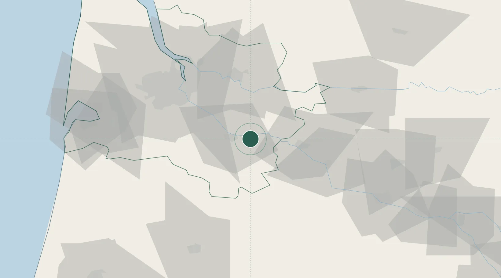
Nearby Logistics Neighbours

Cities
  1. 1Bieujac1 km
  2. 2Caudrot4 km
  3. 3Savignac5 km
  4. 4Saint-Pierre-d'Aurillac5 km
  5. 5Auros6 km
Nearest neighbours — logibook spatial index (haversine) over the source coordinates
Ports
  1. 1Bordeaux48 km
  2. 2Ambes60 km
  3. 3Blaye77 km
  4. 4Pauillac86 km
  5. 5Le Verdon132 km
Nearest neighbours — logibook spatial index (haversine) over the source coordinates
Airports
  1. 1Bordeaux–Mérignac Airport54 km
  2. 2Bergerac Dordogne-Périgord airport61 km
  3. 3Agen La Garenne airport72 km
  4. 4Aérodrome d'Arcachon-La Teste-de-Buch76 km
  5. 5Mont-de-Marsan (BA 118) Air Base77 km
Nearest neighbours — logibook spatial index (haversine) over the source coordinates
Trade Zones
  1. 1ZFU Hauts de Garonne46 km
  2. 2Port de Bordeaux50 km
  3. 3ZFU Toulouse165 km
  4. 4Depósito Franco de Pasajes (Guipúzcoa)197 km
  5. 5ZFU La Rochelle198 km
Nearest neighbours — logibook spatial index (haversine) over the source coordinates
DatabookThe Record of Consolidated Knowledge
France beyond logistics?
Browse databook

All Sources

LocationsUN/LOCODE
UN/LOCODE — free
LocationsGeoNames
CC BY 4.0
Portsthe NGA World Port Index
Public domain (US gov)
AirportsOurAirports
Public domain
Trade Zonesthe World Bank SEZ database
CC BY 4.0
Trade ZonesOpen Zone Map
CC BY
← France locations