Transport Functions
Rail
Road
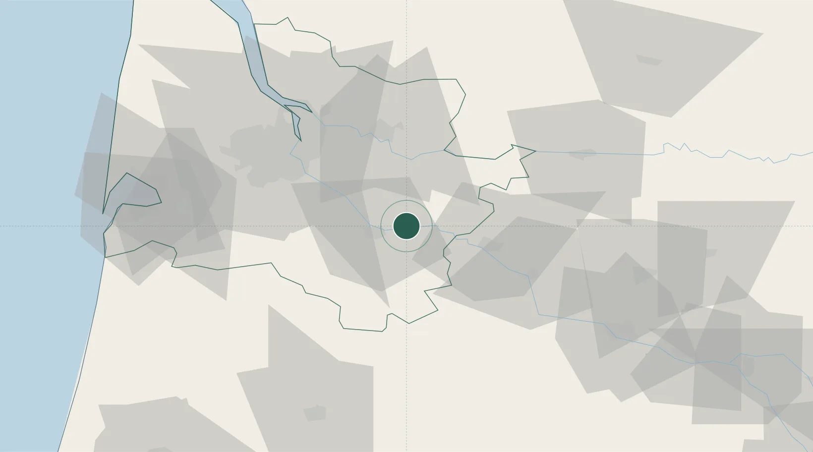
Hub Profile
Place type
Populated place
Region
Nouvelle-Aquitaine
Population
945
Time zone
Europe/Paris
Elevation
22 m
Location
Nearby Logistics Neighbours
Cities
- 1Castets-en-Dorthe4 km
- 2Bieujac4 km
- 3Saint-Pierre-d'Aurillac4 km
- 4Morizès6 km
- 5Les Esseintes8 km
Airports
Trade Zones
- 1ZFU Hauts de Garonne43 km
- 2Port de Bordeaux47 km
- 3ZFU Toulouse167 km
- 4ZFU La Rochelle194 km
- 5Depósito Franco de Pasajes (Guipúzcoa)200 km
DatabookThe Record of Consolidated Knowledge
France beyond logistics?