UN/LOCODE hub · France
FRTRP

Semens

44.6333°, -0.2333°
186
Population
1
Transport functions

Transport Functions

Multimodal
UN/LOCODE

Hub Profile

Place type
Populated place
GeoNames
Region
Nouvelle-Aquitaine
GeoNames
Population
186
GeoNames
Time zone
Europe/Paris
GeoNames
Elevation
100 m
GeoNames

Location

Location of FRTRP
Natural Earth 10m (public domain) · Nouvelle-Aquitaine · FRTRP · 44.63, -0.23GoogleOSMYandex

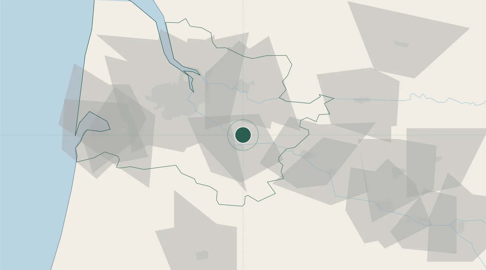
Nearby Logistics Neighbours

Cities
  1. 1Mourens2 km
  2. 2Monprimblanc3 km
  3. 3Omet4 km
  4. 4Gabarnac4 km
  5. 5Loupiac4 km
Nearest neighbours — logibook spatial index (haversine) over the source coordinates
Ports
  1. 1Bordeaux37 km
  2. 2Ambes49 km
  3. 3Blaye65 km
  4. 4Pauillac75 km
  5. 5Le Verdon120 km
Nearest neighbours — logibook spatial index (haversine) over the source coordinates
Airports
  1. 1Bordeaux–Mérignac Airport44 km
  2. 2Bergerac Dordogne-Périgord airport63 km
  3. 3Aérodrome d'Arcachon-La Teste-de-Buch70 km
  4. 4Cazaux (BA 120) Air Base72 km
  5. 5Mont-de-Marsan (BA 118) Air Base83 km
Nearest neighbours — logibook spatial index (haversine) over the source coordinates
Trade Zones
  1. 1ZFU Hauts de Garonne35 km
  2. 2Port de Bordeaux39 km
  3. 3ZFU Toulouse176 km
  4. 4ZFU La Rochelle186 km
  5. 5Depósito Franco de Pasajes (Guipúzcoa)199 km
Nearest neighbours — logibook spatial index (haversine) over the source coordinates
DatabookThe Record of Consolidated Knowledge
France beyond logistics?
Browse databook

All Sources

LocationsUN/LOCODE
UN/LOCODE — free
LocationsGeoNames
CC BY 4.0
Portsthe NGA World Port Index
Public domain (US gov)
AirportsOurAirports
Public domain
Trade Zonesthe World Bank SEZ database
CC BY 4.0
Trade ZonesOpen Zone Map
CC BY
← France locations