UN/LOCODE hub · France
FRBG2

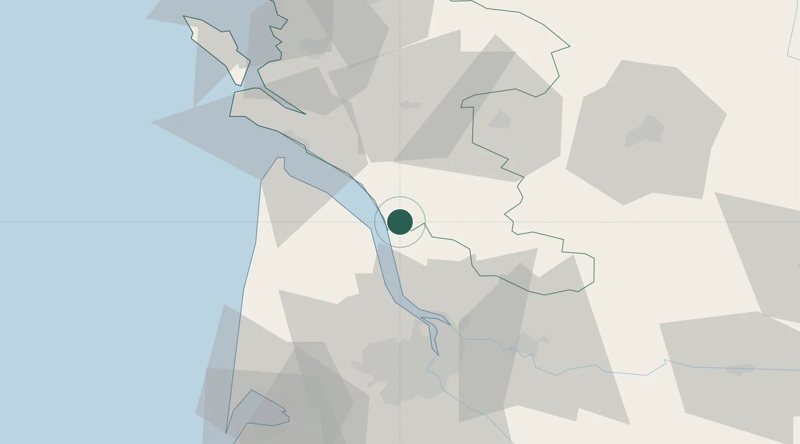
Saint-Bonnet-sur-Gironde

45.3500°, -0.6667°
893
Population
2
Transport functions

Transport Functions

Port
Multimodal
UN/LOCODE

Hub Profile

Place type
Populated place
GeoNames
Region
Nouvelle-Aquitaine
GeoNames
Population
893
GeoNames
Time zone
Europe/Paris
GeoNames
Elevation
9 m
GeoNames

Location

Location of FRBG2
Natural Earth 10m (public domain) · Nouvelle-Aquitaine · FRBG2 · 45.35, -0.67GoogleOSMYandex

Nearby Logistics Neighbours

Cities
  1. 1Saint-Palais8 km
  2. 2Mirambeau8 km
  3. 3Saint-Caprais-de-Blaye11 km
  4. 4Lorignac11 km
  5. 5Saint-Seurin-de-Cadourne12 km
Nearest neighbours — logibook spatial index (haversine) over the source coordinates
Ports
  1. 1Pauillac18 km
  2. 2Blaye24 km
  3. 3Le Verdon37 km
  4. 4Ambes39 km
  5. 5Bordeaux54 km
Nearest neighbours — logibook spatial index (haversine) over the source coordinates
Airports
  1. 1Royan-Médis Airport39 km
  2. 2Cognac-Châteaubernard (BA 709) Air Base44 km
  3. 3Bordeaux–Mérignac Airport58 km
  4. 4Rochefort-Saint-Agnant (BA 721) Airport65 km
  5. 5Angoulême Brie-Champniers airport81 km
Nearest neighbours — logibook spatial index (haversine) over the source coordinates
Trade Zones
  1. 1Port de Bordeaux50 km
  2. 2ZFU Hauts de Garonne58 km
  3. 3ZFU La Rochelle100 km
  4. 4ZFU Nantes et Saint-Herblain223 km
  5. 5ZFU Angers237 km
Nearest neighbours — logibook spatial index (haversine) over the source coordinates
DatabookThe Record of Consolidated Knowledge
France beyond logistics?
Browse databook

All Sources

LocationsUN/LOCODE
UN/LOCODE — free
LocationsGeoNames
CC BY 4.0
Portsthe NGA World Port Index
Public domain (US gov)
AirportsOurAirports
Public domain
Trade Zonesthe World Bank SEZ database
CC BY 4.0
Trade ZonesOpen Zone Map
CC BY
← France locations