UN/LOCODE hub · France
FRGTG

Gageac-et-Rouillac

44.8000°, 0.3500°
1
Transport functions

Transport Functions

Multimodal
UN/LOCODE

Hub Profile

Place type
Populated place
GeoNames
Region
Nouvelle-Aquitaine
GeoNames
Time zone
Europe/Paris
GeoNames
Elevation
95 m
GeoNames

Location

Location of FRGTG
Natural Earth 10m (public domain) · Nouvelle-Aquitaine · FRGTG · 44.80, 0.35GoogleOSMYandex

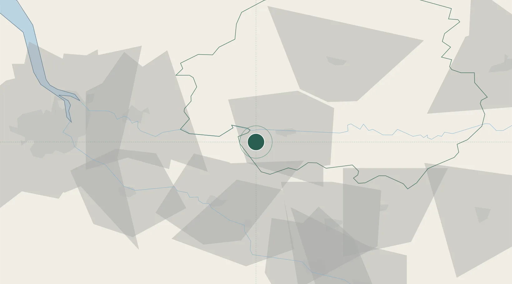
Nearby Logistics Neighbours

Cities
  1. 1Saussignac2 km
  2. 2Cunèges2 km
  3. 3Monestier5 km
  4. 4Pomport6 km
  5. 5Puyguilhem7 km
Nearest neighbours — logibook spatial index (haversine) over the source coordinates
Ports
  1. 1Bordeaux73 km
  2. 2Ambes74 km
  3. 3Blaye88 km
  4. 4Pauillac97 km
  5. 5Le Verdon138 km
Nearest neighbours — logibook spatial index (haversine) over the source coordinates
Airports
  1. 1Bergerac Dordogne-Périgord airport14 km
  2. 2Périgueux-Bassillac Airport57 km
  3. 3Agen La Garenne airport72 km
  4. 4Bordeaux–Mérignac Airport84 km
  5. 5Brive Souillac airport93 km
Nearest neighbours — logibook spatial index (haversine) over the source coordinates
Trade Zones
  1. 1Port de Bordeaux71 km
  2. 2ZFU Hauts de Garonne73 km
  3. 3ZFU Toulouse159 km
  4. 4ZFU La Rochelle194 km
  5. 5ZFU Clermont-Ferrand240 km
Nearest neighbours — logibook spatial index (haversine) over the source coordinates
DatabookThe Record of Consolidated Knowledge
France beyond logistics?
Browse databook

All Sources

LocationsUN/LOCODE
UN/LOCODE — free
Portsthe NGA World Port Index
Public domain (US gov)
AirportsOurAirports
Public domain
Trade Zonesthe World Bank SEZ database
CC BY 4.0
Trade ZonesOpen Zone Map
CC BY
← France locations