Transport Functions
Multimodal
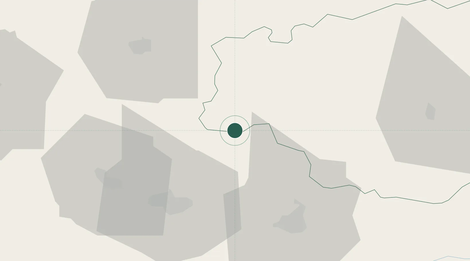
Hub Profile
Place type
Populated place
Region
Occitanie
Population
587
Time zone
Europe/Paris
Elevation
241 m
Location
Nearby Logistics Neighbours
Cities
- 1Aurions-Idernes6 km
- 2Saint-Lanne6 km
- 3Labarthète6 km
- 4Garlin10 km
- 5Sarragachies13 km
Ports
- 1Bayonne108 km
- 2Bordeaux147 km
- 3Puerto De Pasajes148 km
- 4Ambes163 km
- 5Blaye178 km
Airports
Trade Zones
- 1ZFU Toulouse127 km
- 2ZFU Hauts de Garonne143 km
- 3Depósito Franco de Pasajes (Guipúzcoa)147 km
- 4Port de Bordeaux151 km
- 5Depósito Franco de Zaragoza222 km
DatabookThe Record of Consolidated Knowledge
France beyond logistics?