UN/LOCODE hub · France
FRCNG

Cognac

45.6870°, -0.2873°
20,868
Population
3
Transport functions

Transport Functions

Port
Rail
Airport
UN/LOCODE

Hub Profile

Place type
District seat
GeoNames
Region
Nouvelle-Aquitaine
GeoNames
Population
20,868
GeoNames
Time zone
Europe/Paris
GeoNames
Elevation
28 m
GeoNames
Logistics facilities
4
UN/LOCODE

Location

Location of FRCNG
Natural Earth 10m (public domain) · Nouvelle-Aquitaine · FRCNG · 45.69, -0.29GoogleOSMYandex

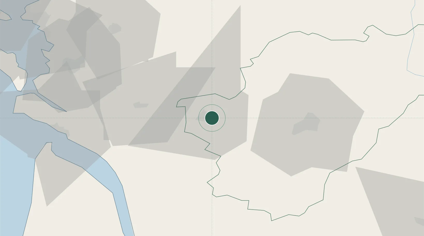
Nearby Logistics Neighbours

Cities
  1. 1Saint-Brice1 km
  2. 2Boutiers-Saint-Trojan3 km
  3. 3Châteaubernard4 km
  4. 4Nercillac4 km
  5. 5Bourg-Charente5 km
Nearest neighbours — logibook spatial index (haversine) over the source coordinates
Ports
  1. 1Tonnay Charente55 km
  2. 2Rochefort58 km
  3. 3Le Verdon61 km
  4. 4Pauillac65 km
  5. 5Blaye68 km
Nearest neighbours — logibook spatial index (haversine) over the source coordinates
Airports
  1. 1Cognac-Châteaubernard (BA 709) Air Base4 km
  2. 2Angoulême Brie-Champniers airport40 km
  3. 3Royan-Médis Airport54 km
  4. 4Rochefort-Saint-Agnant (BA 721) Airport58 km
  5. 5Niort - Marais Poitevin Airport70 km
Nearest neighbours — logibook spatial index (haversine) over the source coordinates
Trade Zones
  1. 1Port de Bordeaux89 km
  2. 2ZFU La Rochelle89 km
  3. 3ZFU Hauts de Garonne98 km
  4. 4ZFU Angers201 km
  5. 5ZFU Nantes et Saint-Herblain202 km
Nearest neighbours — logibook spatial index (haversine) over the source coordinates
DatabookThe Record of Consolidated Knowledge
France beyond logistics?
Browse databook

All Sources

LocationsUN/LOCODE
UN/LOCODE — free
LocationsGeoNames
CC BY 4.0
Portsthe NGA World Port Index
Public domain (US gov)
AirportsOurAirports
Public domain
Trade Zonesthe World Bank SEZ database
CC BY 4.0
Trade ZonesOpen Zone Map
CC BY
← France locations