Transport Functions
Port
Rail
Road
Hub Profile
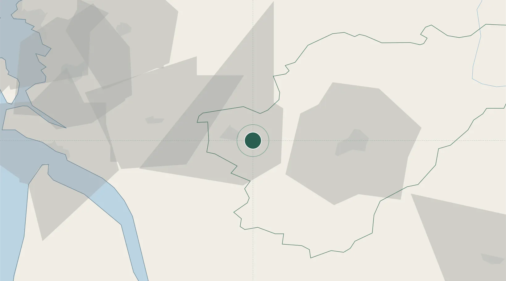
Place type
Populated place
Region
Nouvelle-Aquitaine
Population
776
Time zone
Europe/Paris
Elevation
18 m
Location
Nearby Logistics Neighbours
Cities
- 1Chassors4 km
- 2Saint-Brice4 km
- 3Cognac5 km
- 4Mainxe5 km
- 5Nercillac6 km
Ports
- 1Tonnay Charente60 km
- 2Rochefort63 km
- 3Le Verdon65 km
- 4Pauillac66 km
- 5Blaye68 km
Airports
Trade Zones
- 1Port de Bordeaux87 km
- 2ZFU La Rochelle94 km
- 3ZFU Hauts de Garonne97 km
- 4ZFU Angers204 km
- 5ZFU Nantes et Saint-Herblain207 km
DatabookThe Record of Consolidated Knowledge
France beyond logistics?