Transport Functions
Rail
Road
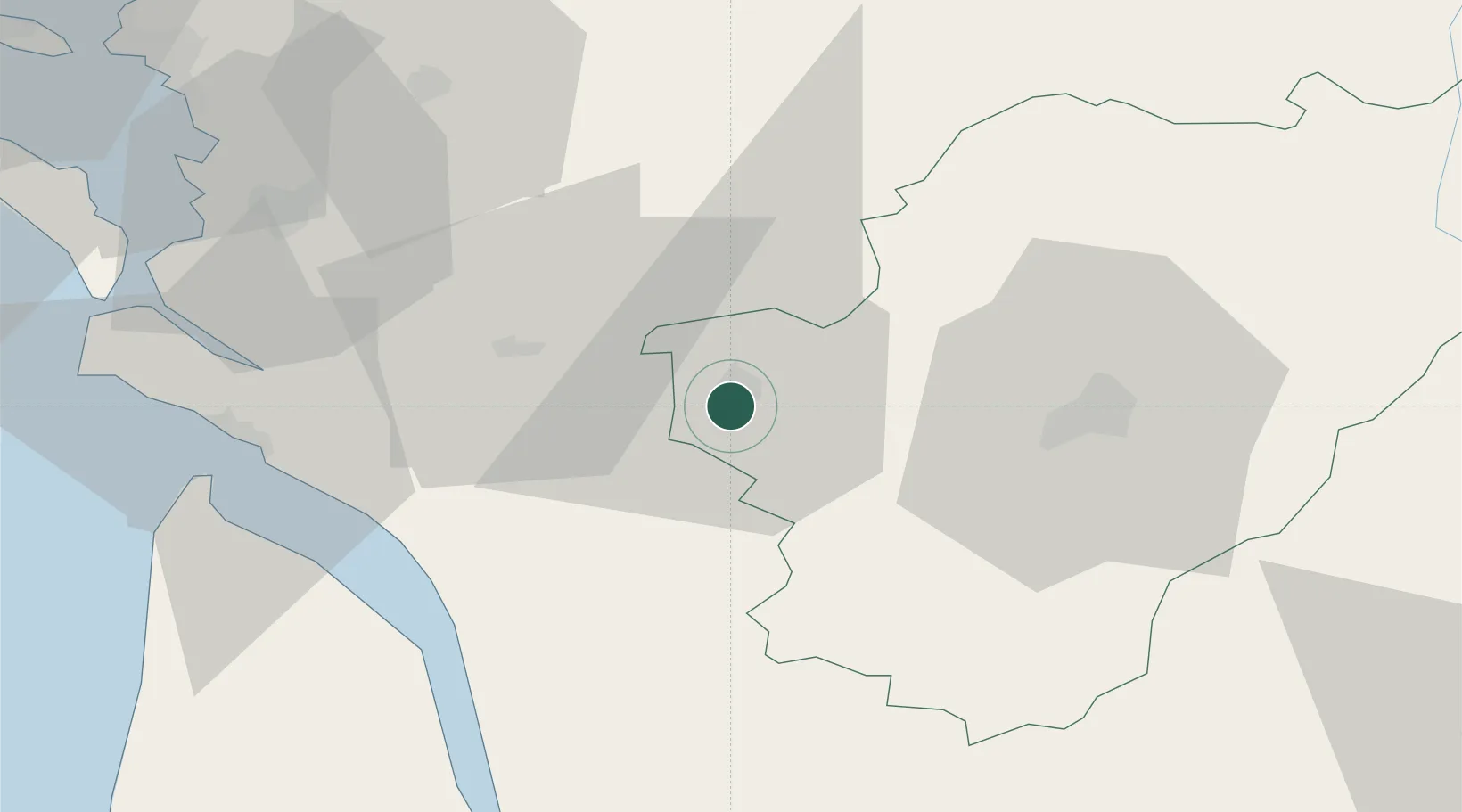
Hub Profile
Place type
Populated place
Region
Nouvelle-Aquitaine
Population
3,890
Time zone
Europe/Paris
Elevation
27 m
Location
Nearby Logistics Neighbours
Cities
- 1Javrezac4 km
- 2Genté4 km
- 3Cognac4 km
- 4Saint-Brice4 km
- 5Boutiers-Saint-Trojan6 km
Ports
- 1Tonnay Charente53 km
- 2Rochefort56 km
- 3Le Verdon57 km
- 4Pauillac61 km
- 5Blaye65 km
Airports
Trade Zones
- 1Port de Bordeaux86 km
- 2ZFU La Rochelle88 km
- 3ZFU Hauts de Garonne95 km
- 4ZFU Nantes et Saint-Herblain202 km
- 5ZFU Angers203 km
DatabookThe Record of Consolidated Knowledge
France beyond logistics?