Transport Functions
Rail
Road
Hub Profile
Place type
Populated place
Region
Rhône-Alpes
Population
11,613
Time zone
Europe/Paris
Elevation
654 m
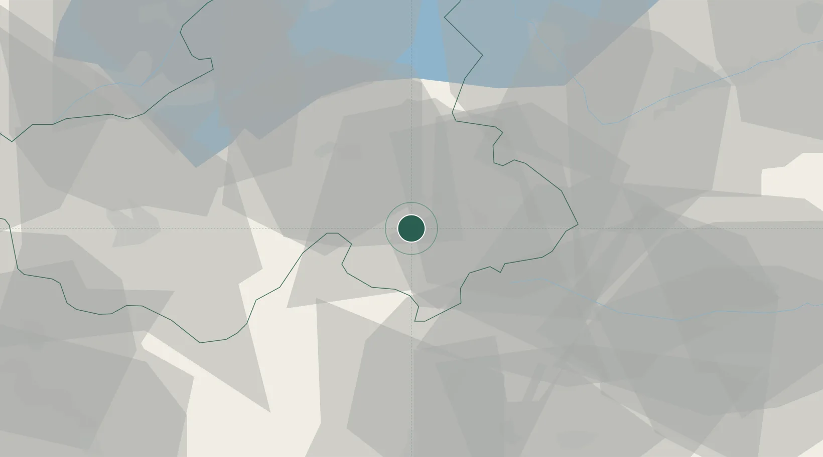
Location
Nearby Logistics Neighbours
Cities
- 1Saint-Gervais-les-Bains2 km
- 2Les Houches10 km
- 3Cluses17 km
- 4Marignier24 km
- 5Ayse27 km
Ports
- 1Savona228 km
- 2Rada Di Vado230 km
- 3Genova244 km
- 4San Remo249 km
- 5Monaco250 km
Airports
- 1Annemasse Airfield44 km
- 2Annecy Meythet airport45 km
- 3Aosta Corrado Gex Airport57 km
- 4Geneva Cointrin International Airport57 km
- 5Sion Airport60 km
Trade Zones
DatabookThe Record of Consolidated Knowledge
France beyond logistics?