UN/LOCODE hub · France
FRGSN

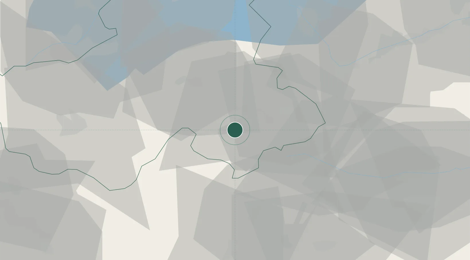
Saint-Gervais-les-Bains

45.9000°, 6.7000°
5,882
Population
2
Transport functions

Transport Functions

Rail
Road
UN/LOCODE

Hub Profile

Place type
Populated place
GeoNames
Region
Rhône-Alpes
GeoNames
Population
5,882
GeoNames
Time zone
Europe/Paris
GeoNames
Elevation
840 m
GeoNames

Location

Location of FRGSN
Natural Earth 10m (public domain) · Rhône-Alpes · FRGSN · 45.90, 6.70GoogleOSMYandex

Nearby Logistics Neighbours

Cities
  1. 1Passy2 km
  2. 2Les Houches8 km
  3. 3Cluses20 km
  4. 4Marignier26 km
  5. 5Thônes28 km
Nearest neighbours — logibook spatial index (haversine) over the source coordinates
Ports
  1. 1Savona226 km
  2. 2Rada Di Vado228 km
  3. 3Genova241 km
  4. 4San Remo247 km
  5. 5Monaco248 km
Nearest neighbours — logibook spatial index (haversine) over the source coordinates
Airports
  1. 1Annemasse Airfield47 km
  2. 2Annecy Meythet airport47 km
  3. 3Aosta Corrado Gex Airport55 km
  4. 4Geneva Cointrin International Airport59 km
  5. 5Sion Airport60 km
Nearest neighbours — logibook spatial index (haversine) over the source coordinates
Trade Zones
  1. 1Aosta Valley21 km
  2. 2Geneva Freeport, La Praille, Geneva55 km
  3. 3Port Franc de Geneve57 km
  4. 4Geneva Cointrin International Airport Free Port59 km
  5. 5Port Franc Vevey64 km
Nearest neighbours — logibook spatial index (haversine) over the source coordinates
DatabookThe Record of Consolidated Knowledge
France beyond logistics?
Browse databook

All Sources

LocationsUN/LOCODE
UN/LOCODE — free
LocationsGeoNames
CC BY 4.0
Portsthe NGA World Port Index
Public domain (US gov)
AirportsOurAirports
Public domain
Trade Zonesthe World Bank SEZ database
CC BY 4.0
Trade ZonesOpen Zone Map
CC BY
← France locations