Transport Functions
Road
Multimodal
Hub Profile
Place type
Populated place
Region
Provence-Alpes-Côte d'Azur
Population
554
Time zone
Europe/Paris
Elevation
682 m
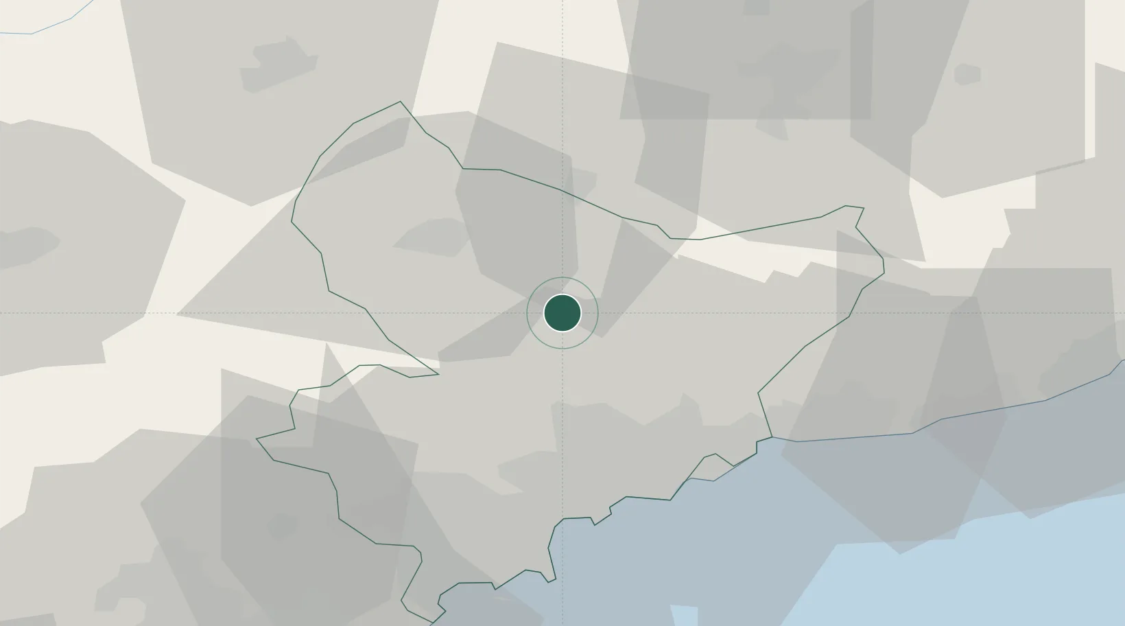
Location
Nearby Logistics Neighbours
Cities
- 1Villars-sur-Var8 km
- 2Gilette17 km
- 3La Beaumette26 km
- 4Tourrette-Levens26 km
- 5Colomars27 km
Ports
- 1Nice35 km
- 2Villefranche36 km
- 3Monaco37 km
- 4Antibes46 km
- 5Cannes51 km
Airports
- 1Monaco Heliport37 km
- 2Nice-Côte d'Azur Airport38 km
- 3Cannes Croisette Heliport52 km
- 4Cannes Mandelieu Airport53 km
- 5Cuneo International Airport72 km
Trade Zones
- 1ZFU LAriane30 km
- 2ZFU Toulon138 km
- 3ZFU La Seyne-sur-Mer147 km
- 4ZFU Marseille 15e et 16e162 km
- 5ZFU Saint-Barthélémy, Le Canet, Delorme-Paternelle173 km
DatabookThe Record of Consolidated Knowledge
France beyond logistics?