Transport Functions
Multimodal
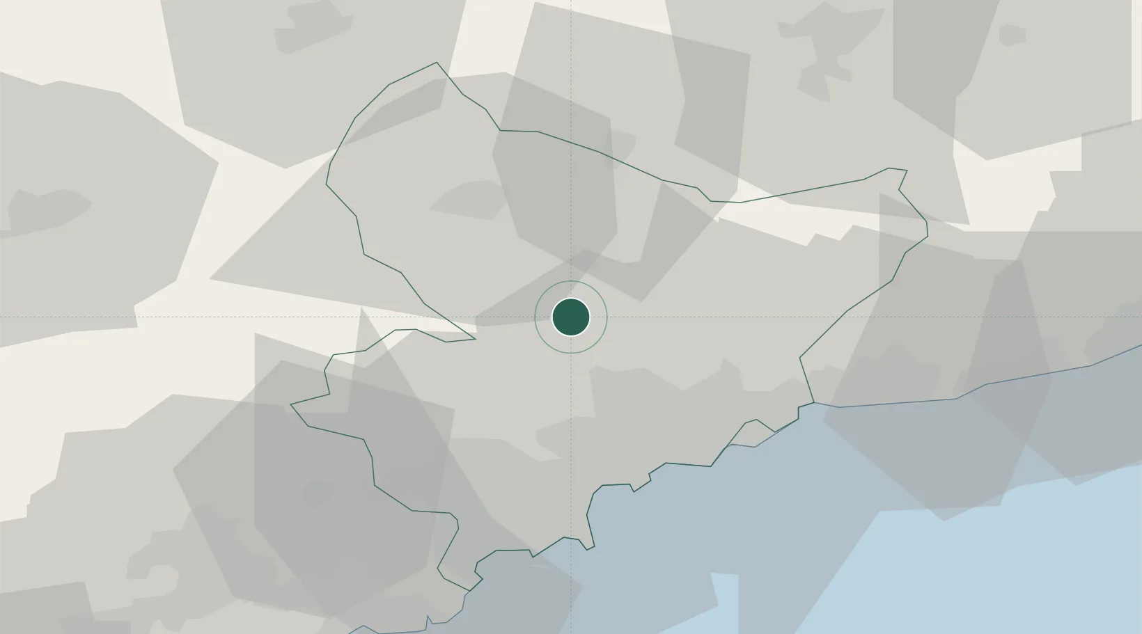
Hub Profile
Place type
Populated place
Region
Provence-Alpes-Côte d'Azur
Population
603
Time zone
Europe/Paris
Elevation
416 m
Location
Nearby Logistics Neighbours
Cities
- 1Clans8 km
- 2Gilette11 km
- 3Colomars21 km
- 4Tourrette-Levens22 km
- 5Saint-Paul26 km
Ports
- 1Nice30 km
- 2Villefranche31 km
- 3Monaco34 km
- 4Antibes39 km
- 5Cannes43 km
Airports
- 1Nice-Côte d'Azur Airport32 km
- 2Monaco Heliport35 km
- 3Cannes Mandelieu Airport44 km
- 4Cannes Croisette Heliport45 km
- 5Cuneo International Airport80 km
Trade Zones
- 1ZFU LAriane26 km
- 2ZFU Toulon130 km
- 3ZFU La Seyne-sur-Mer139 km
- 4ZFU Marseille 15e et 16e155 km
- 5ZFU Saint-Barthélémy, Le Canet, Delorme-Paternelle166 km
DatabookThe Record of Consolidated Knowledge
France beyond logistics?