Transport Functions
Port
Multimodal
Hub Profile
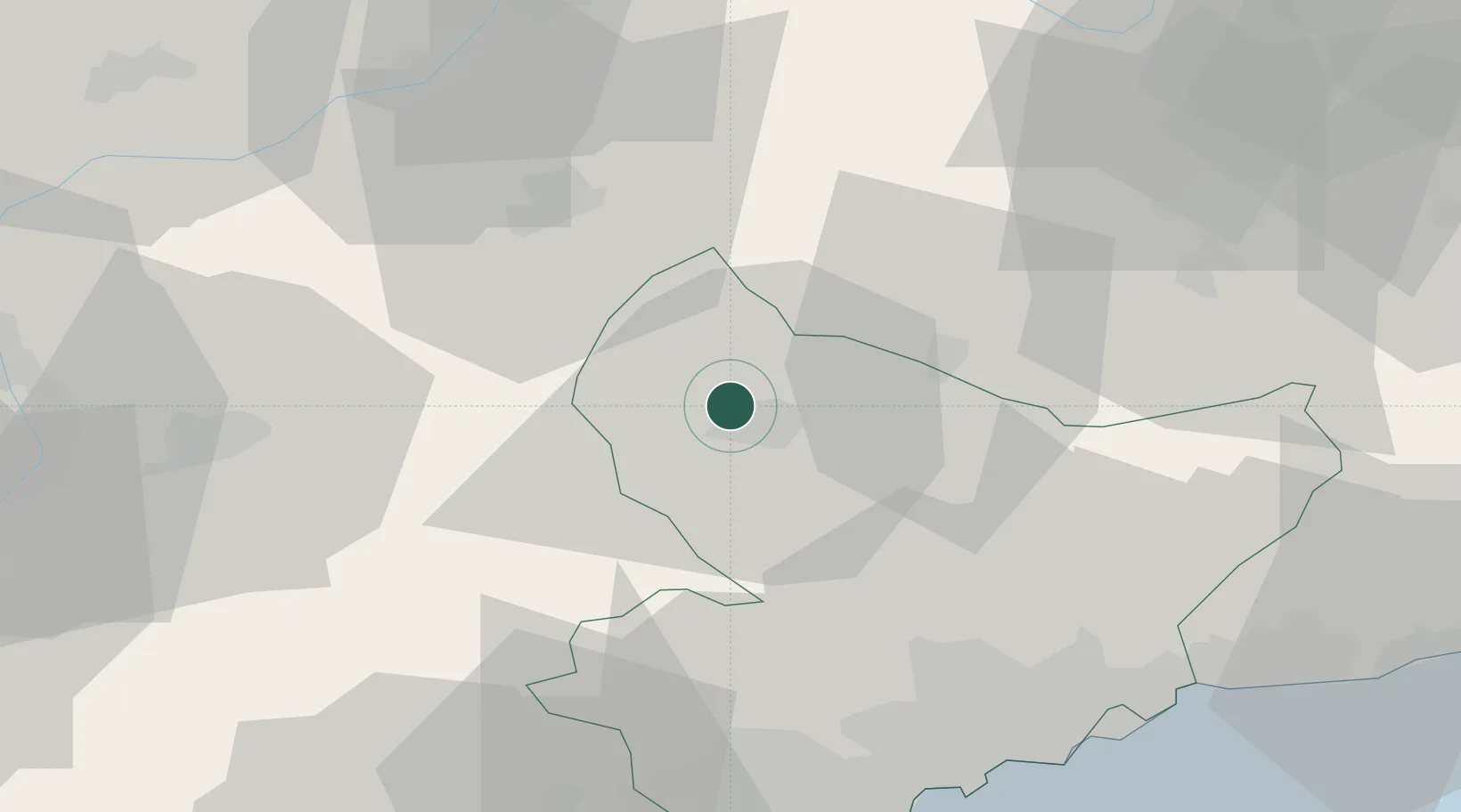
Place type
Populated place
Region
Provence-Alpes-Côte d'Azur
Time zone
Europe/Paris
Elevation
1,675 m
Location
Nearby Logistics Neighbours
Cities
- 1Clans26 km
- 2Vinadio27 km
- 3Villars-sur-Var29 km
- 4Gilette40 km
- 5Saint-Paul43 km
Ports
- 1Nice59 km
- 2Villefranche60 km
- 3Monaco62 km
- 4Antibes66 km
- 5Cannes67 km
Airports
- 1Nice-Côte d'Azur Airport60 km
- 2Monaco Heliport63 km
- 3Cannes Mandelieu Airport67 km
- 4Cannes Croisette Heliport69 km
- 5Cuneo International Airport73 km
Trade Zones
- 1ZFU LAriane55 km
- 2ZFU Toulon138 km
- 3ZFU La Seyne-sur-Mer146 km
- 4ZFU Grenoble150 km
- 5ZFU Marseille 15e et 16e153 km
DatabookThe Record of Consolidated Knowledge
France beyond logistics?