Transport Functions
Port
Road
Hub Profile
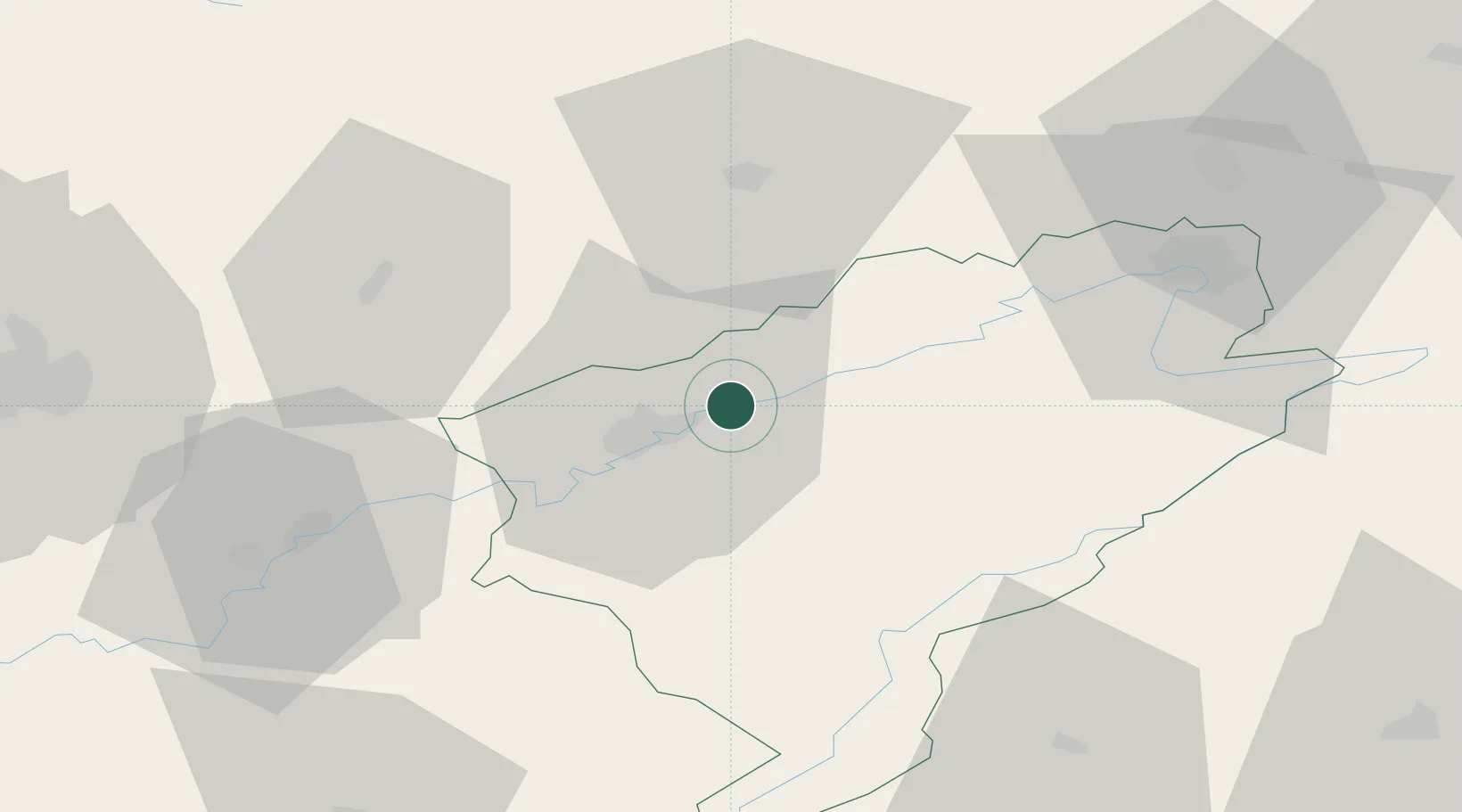
Place type
Populated place
Region
Bourgogne
Population
1,574
Time zone
Europe/Paris
Elevation
264 m
Location
Nearby Logistics Neighbours
Cities
- 1Thise4 km
- 2Chalezeule4 km
- 3Besançon8 km
- 4Devecey10 km
- 5Miserey-Salines13 km
Ports
- 1Savona377 km
- 2Rada Di Vado381 km
- 3Genova387 km
- 4Imperia406 km
- 5San Remo406 km
Airports
Trade Zones
- 1ZFU Besancon11 km
- 2ZFU Montbéliard55 km
- 3ZFU Belfort65 km
- 4PESA - Port-Franc et Entrepôts de Lausanne-Chavornay SA72 km
- 5ZFU Chenôve87 km
DatabookThe Record of Consolidated Knowledge
France beyond logistics?