UN/LOCODE hub · France
FRFDR

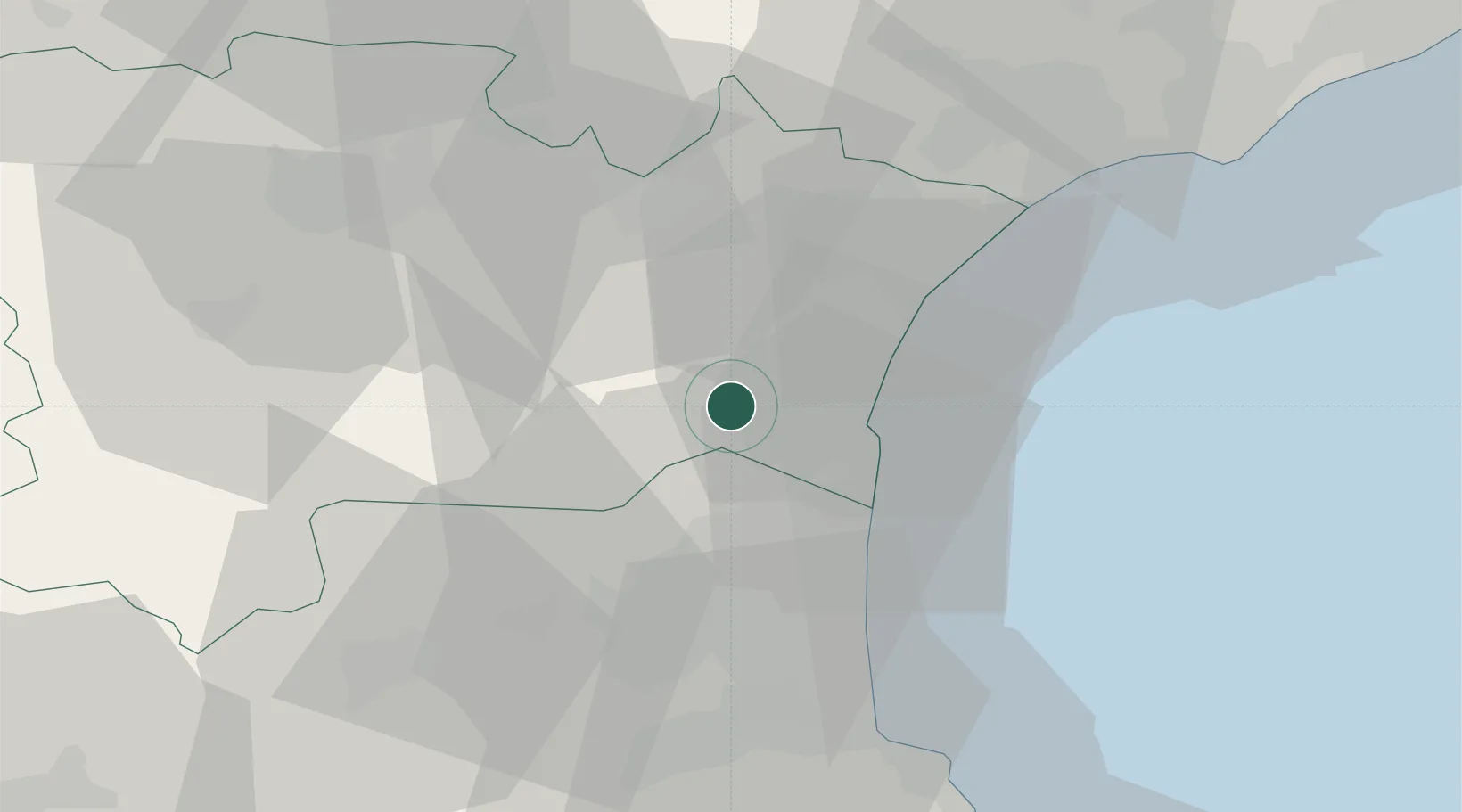
Fraissé-des-Corbières

42.9667°, 2.8667°
181
Population
1
Transport functions

Transport Functions

Port
UN/LOCODE

Hub Profile

Place type
Populated place
GeoNames
Region
Occitanie
GeoNames
Population
181
GeoNames
Time zone
Europe/Paris
GeoNames
Elevation
180 m
GeoNames

Location

Location of FRFDR
Natural Earth 10m (public domain) · Occitanie · FRFDR · 42.97, 2.87GoogleOSMYandex

Nearby Logistics Neighbours

Cities
  1. 1Durban-Corbières6 km
  2. 2Feuilla6 km
  3. 3Embres-et-Castelmaure6 km
  4. 4Villesèque-des-Corbières6 km
  5. 5Roquefort-des-Corbières7 km
Nearest neighbours — logibook spatial index (haversine) over the source coordinates
Ports
  1. 1Port-La-Nouvelle17 km
  2. 2Port-Vendres54 km
  3. 3Rosas82 km
  4. 4Sete83 km
  5. 5Palamos128 km
Nearest neighbours — logibook spatial index (haversine) over the source coordinates
Airports
  1. 1Perpignan-Rivesaltes (Llabanère) Airport25 km
  2. 2Carcassonne Salvaza Airport53 km
  3. 3Béziers Vias airport56 km
  4. 4Castres Mazamet Airport81 km
  5. 5Montpellier-Méditerranée Airport112 km
Nearest neighbours — logibook spatial index (haversine) over the source coordinates
Trade Zones
  1. 1ZFU Perpignan30 km
  2. 2ZFU Béziers50 km
  3. 3ZFU Montpellier106 km
  4. 4ZFU Toulouse135 km
  5. 5ZFU Nîmes153 km
Nearest neighbours — logibook spatial index (haversine) over the source coordinates
DatabookThe Record of Consolidated Knowledge
France beyond logistics?
Browse databook

All Sources

LocationsUN/LOCODE
UN/LOCODE — free
LocationsGeoNames
CC BY 4.0
Portsthe NGA World Port Index
Public domain (US gov)
AirportsOurAirports
Public domain
Trade Zonesthe World Bank SEZ database
CC BY 4.0
Trade ZonesOpen Zone Map
CC BY
← France locations