Transport Functions
Multimodal
Hub Profile
Place type
Populated place
Region
Occitanie
Population
82
Time zone
Europe/Paris
Elevation
165 m
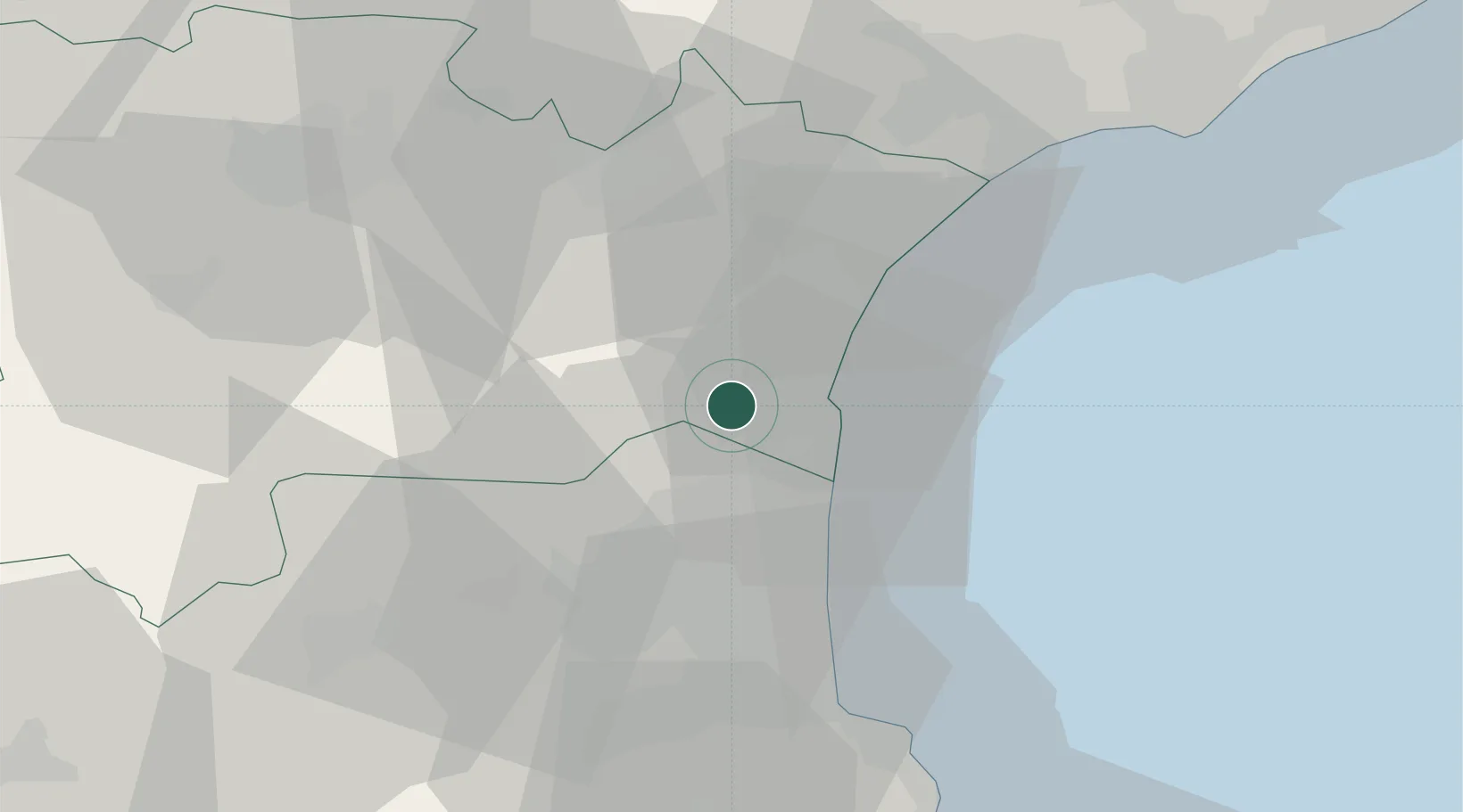
Location
Nearby Logistics Neighbours
Cities
- 1Treilles3 km
- 2Fraissé-des-Corbières6 km
- 3Roquefort-des-Corbières6 km
- 4Fitou7 km
- 5La Palme8 km
Ports
- 1Port-La-Nouvelle15 km
- 2Port-Vendres49 km
- 3Rosas77 km
- 4Sete82 km
- 5Palamos123 km
Airports
Trade Zones
- 1ZFU Perpignan26 km
- 2ZFU Béziers51 km
- 3ZFU Montpellier106 km
- 4ZFU Toulouse141 km
- 5ZFU Nîmes152 km
DatabookThe Record of Consolidated Knowledge
France beyond logistics?