UN/LOCODE hub · France
FRFLB

Fouquières-lès-Béthune
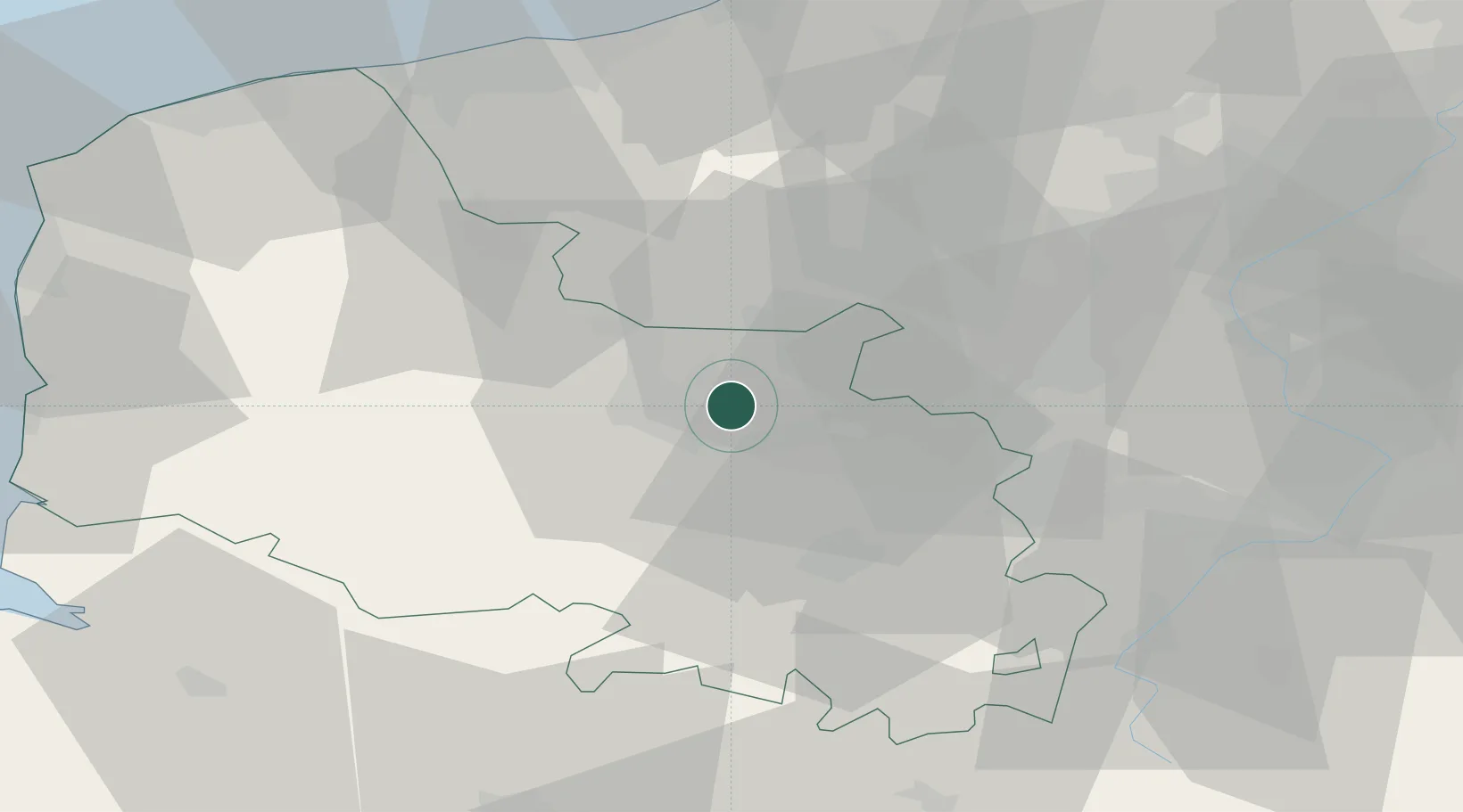
50.5167°, 2.6167°
1,182
Population
2
Transport functions

Transport Functions

Rail
Road
UN/LOCODE

Hub Profile

Place type
Populated place
GeoNames
Region
Hauts-de-France
GeoNames
Population
1,182
GeoNames
Time zone
Europe/Paris
GeoNames
Elevation
30 m
GeoNames

Location

Location of FRFLB
Natural Earth 10m (public domain) · Hauts-de-France · FRFLB · 50.52, 2.62GoogleOSMYandex

Nearby Logistics Neighbours

Cities
  1. 1Béthune2 km
  2. 2Beuvry5 km
  3. 3Labourse5 km
  4. 4Sailly-Labourse6 km
  5. 5Barlin7 km
Nearest neighbours — logibook spatial index (haversine) over the source coordinates
Ports
  1. 1Dunkerque Port Est64 km
  2. 2Gravelines64 km
  3. 3Nieuwpoort69 km
  4. 4Calais74 km
  5. 5Boulogne-Sur-Mer76 km
Nearest neighbours — logibook spatial index (haversine) over the source coordinates
Airports
  1. 1Merville-Calonne Airport12 km
  2. 2Lille Airport35 km
  3. 3Flanders International Airport Kortrijk-Wevelgem54 km
  4. 4Valenciennes-Denain Airfield63 km
  5. 5Koksijde Air Base64 km
Nearest neighbours — logibook spatial index (haversine) over the source coordinates
DatabookThe Record of Consolidated Knowledge
France beyond logistics?
Browse databook

All Sources

LocationsUN/LOCODE
UN/LOCODE — free
LocationsGeoNames
CC BY 4.0
Portsthe NGA World Port Index
Public domain (US gov)
AirportsOurAirports
Public domain
Trade Zonesthe World Bank SEZ database
CC BY 4.0
Trade ZonesOpen Zone Map
CC BY
← France locations