Transport Functions
Multimodal
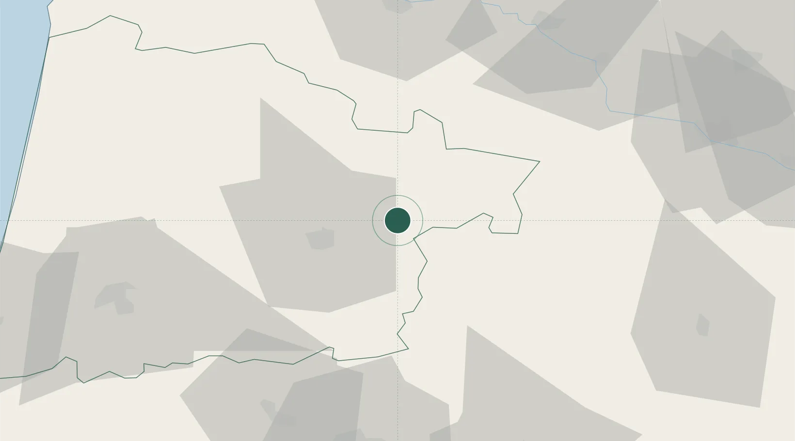
Hub Profile
Place type
Populated place
Region
Nouvelle-Aquitaine
Population
237
Time zone
Europe/Paris
Elevation
102 m
Location
Nearby Logistics Neighbours
Cities
- 1Le Frêche3 km
- 2Saint-Justin5 km
- 3Arthez-d'Armagnac6 km
- 4Lannemaignan8 km
- 5Betbezer-d'Armagnac9 km
Airports
Trade Zones
- 1ZFU Hauts de Garonne101 km
- 2Port de Bordeaux109 km
- 3ZFU Toulouse142 km
- 4Depósito Franco de Pasajes (Guipúzcoa)150 km
- 5Depósito Franco de Bilbao233 km
DatabookThe Record of Consolidated Knowledge
France beyond logistics?