Transport Functions
Rail
Road
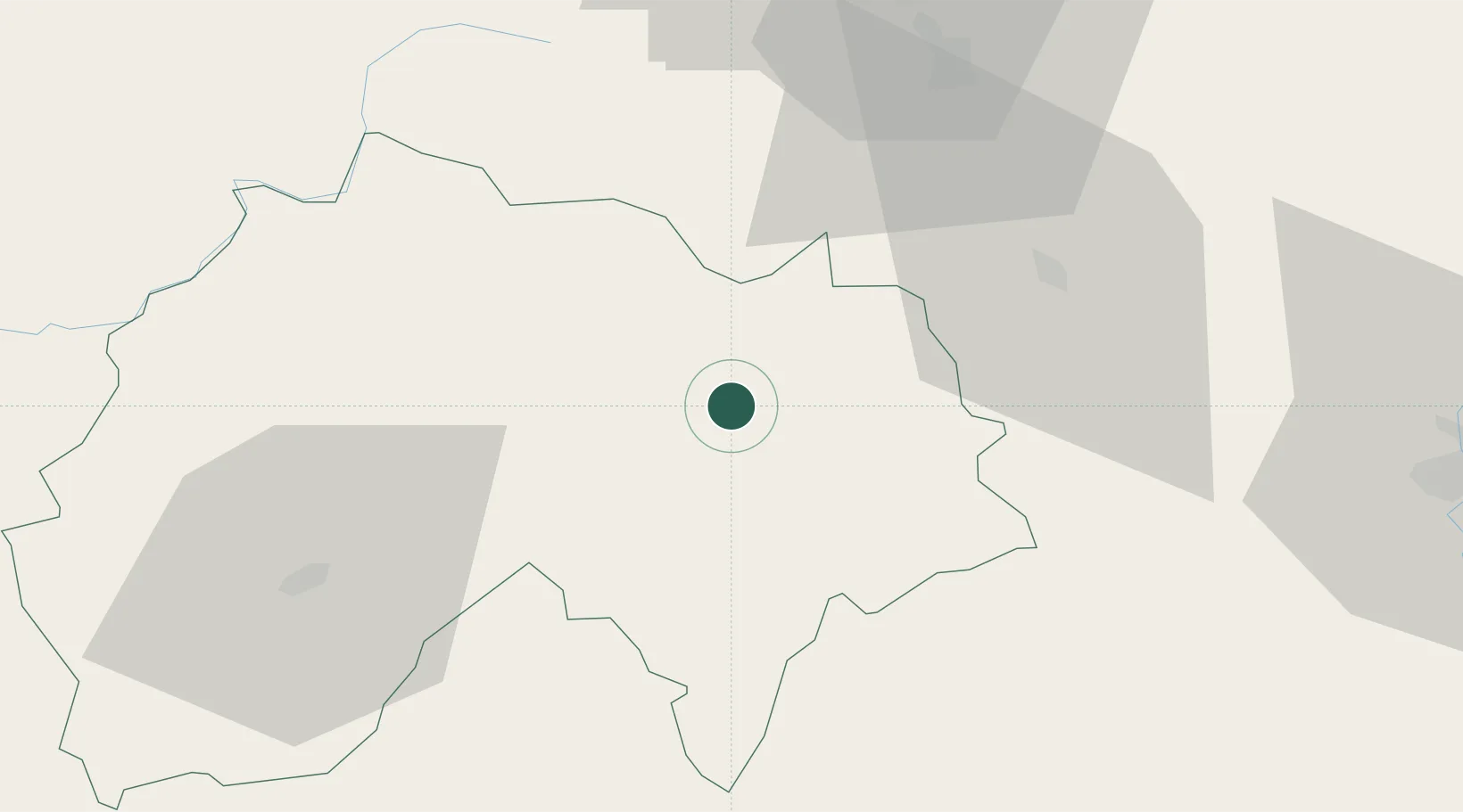
Hub Profile
Place type
Populated place
Region
Rhône-Alpes
Time zone
Europe/Paris
Elevation
804 m
Location
Nearby Logistics Neighbours
Cities
- 1Massiac20 km
- 2Bournoncle-Saint-Pierre34 km
- 3Cohade36 km
- 4Chilhac37 km
- 5Noalhac37 km
Ports
- 1Sete201 km
- 2Port-La-Nouvelle236 km
- 3Port Saint Louis Du Rhone243 km
- 4Fos244 km
- 5Port-de-Bouc250 km
Airports
- 1Aurillac airport52 km
- 2Le Puy-Loudes Airfield62 km
- 3Clermont-Ferrand Auvergne airport74 km
- 4Mende-Brenoux Airfield83 km
- 5Rodez–Aveyron Airport90 km
Trade Zones
- 1ZFU Clermont-Ferrand73 km
- 2ZFU Saint-Etienne108 km
- 3ZFU Valence148 km
- 4ZFU Vénissieux159 km
- 5ZFU Lyon 9e159 km
DatabookThe Record of Consolidated Knowledge
France beyond logistics?