Transport Functions
Rail
Road
Hub Profile
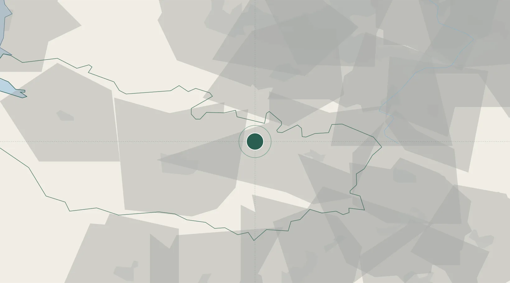
Place type
Populated place
Region
Hauts-de-France
Population
10,588
Time zone
Europe/Paris
Elevation
69 m
Location
Nearby Logistics Neighbours
Cities
- 1Méaulte4 km
- 2Chipilly9 km
- 3Feuillères14 km
- 4Dompierre-Becquincourt16 km
- 5Harbonnières17 km
Ports
- 1Saint-Valery-Sur-Somme77 km
- 2Le Treport92 km
- 3Boulogne-Sur-Mer110 km
- 4Dieppe112 km
- 5Gravelines117 km
Airports
DatabookThe Record of Consolidated Knowledge
France beyond logistics?