UN/LOCODE hub · France
FRPE8

Petit-Palais-et-Cornemps

44.9833°, -0.0667°
1
Transport functions

Transport Functions

Multimodal
UN/LOCODE

Hub Profile

Region
33
GeoNames

Location

Location of FRPE8
Natural Earth 10m (public domain) · 33 · FRPE8 · 44.98, -0.07GoogleOSMYandex

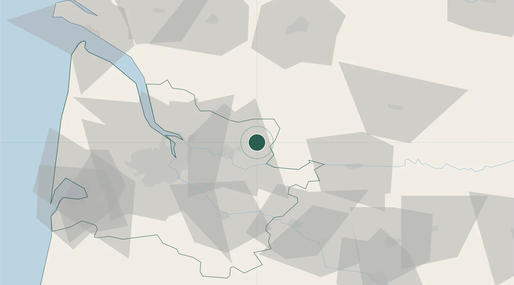
Nearby Logistics Neighbours

Cities
  1. 1Saint-Christophe-des-Bardes10 km
  2. 2Lagorce11 km
  3. 3Sainte-Colombe11 km
  4. 4Gardegan-et-Tourtirac12 km
  5. 5Saint-Magne-de-Castillon13 km
Nearest neighbours — logibook spatial index (haversine) over the source coordinates
Ports
  1. 1Ambes37 km
  2. 2Bordeaux41 km
  3. 3Blaye50 km
  4. 4Pauillac59 km
  5. 5Le Verdon100 km
Nearest neighbours — logibook spatial index (haversine) over the source coordinates
Airports
  1. 1Bergerac Dordogne-Périgord airport49 km
  2. 2Bordeaux–Mérignac Airport54 km
  3. 3Périgueux-Bassillac Airport73 km
  4. 4Cognac-Châteaubernard (BA 709) Air Base78 km
  5. 5Angoulême Brie-Champniers airport86 km
Nearest neighbours — logibook spatial index (haversine) over the source coordinates
Trade Zones
  1. 1Port de Bordeaux38 km
  2. 2ZFU Hauts de Garonne44 km
  3. 3ZFU La Rochelle159 km
  4. 4ZFU Toulouse195 km
  5. 5Depósito Franco de Pasajes (Guipúzcoa)237 km
Nearest neighbours — logibook spatial index (haversine) over the source coordinates
DatabookThe Record of Consolidated Knowledge
France beyond logistics?
Browse databook

All Sources

LocationsUN/LOCODE
UN/LOCODE — free
Portsthe NGA World Port Index
Public domain (US gov)
AirportsOurAirports
Public domain
Trade Zonesthe World Bank SEZ database
CC BY 4.0
Trade ZonesOpen Zone Map
CC BY
← France locations