UN/LOCODE hub · France
FRMHG

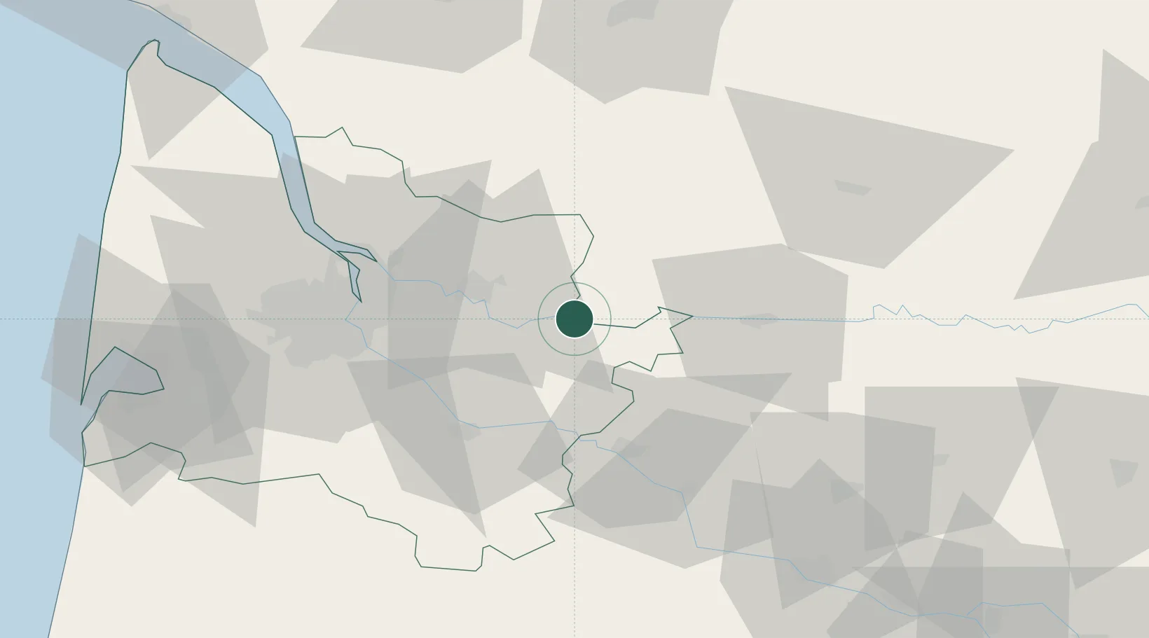
Saint-Michel-de-Montaigne

44.8500°, 0.0167°
343
Population
2
Transport functions

Transport Functions

Road
Multimodal
UN/LOCODE

Hub Profile

Place type
Populated place
GeoNames
Region
Nouvelle-Aquitaine
GeoNames
Population
343
GeoNames
Time zone
Europe/Paris
GeoNames
Elevation
83 m
GeoNames

Location

Location of FRMHG
Natural Earth 10m (public domain) · Nouvelle-Aquitaine · FRMHG · 44.85, 0.02GoogleOSMYandex

Nearby Logistics Neighbours

Cities
  1. 1Flaujagues2 km
  2. 2Castillon-la-Bataille5 km
  3. 3Pessac-sur-Dordogne6 km
  4. 4Gensac7 km
  5. 5Saint-Magne-de-Castillon7 km
Nearest neighbours — logibook spatial index (haversine) over the source coordinates
Ports
  1. 1Bordeaux46 km
  2. 2Ambes47 km
  3. 3Blaye62 km
  4. 4Pauillac72 km
  5. 5Le Verdon114 km
Nearest neighbours — logibook spatial index (haversine) over the source coordinates
Airports
  1. 1Bergerac Dordogne-Périgord airport40 km
  2. 2Bordeaux–Mérignac Airport58 km
  3. 3Périgueux-Bassillac Airport74 km
  4. 4Agen La Garenne airport88 km
  5. 5Aérodrome d'Arcachon-La Teste-de-Buch93 km
Nearest neighbours — logibook spatial index (haversine) over the source coordinates
Trade Zones
  1. 1Port de Bordeaux44 km
  2. 2ZFU Hauts de Garonne47 km
  3. 3ZFU La Rochelle175 km
  4. 4ZFU Toulouse179 km
  5. 5Depósito Franco de Pasajes (Guipúzcoa)230 km
Nearest neighbours — logibook spatial index (haversine) over the source coordinates
DatabookThe Record of Consolidated Knowledge
France beyond logistics?
Browse databook

All Sources

LocationsUN/LOCODE
UN/LOCODE — free
LocationsGeoNames
CC BY 4.0
Portsthe NGA World Port Index
Public domain (US gov)
AirportsOurAirports
Public domain
Trade Zonesthe World Bank SEZ database
CC BY 4.0
Trade ZonesOpen Zone Map
CC BY
← France locations