Transport Functions
Port
Multimodal
Hub Profile
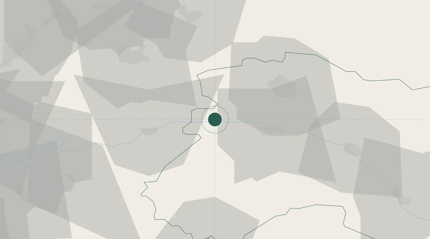
Place type
Populated place
Region
Grand Est
Population
330
Time zone
Europe/Paris
Elevation
61 m
Location
Nearby Logistics Neighbours
Cities
- 1Vandières-sous-Chatillon0 km
- 2Mareuil-le-Port2 km
- 3Troissy2 km
- 4Port à Binson3 km
- 5Cerseuil4 km
Ports
- 1Saint-Valery-Sur-Somme194 km
- 2Port Of Rouen197 km
- 3Bruxelles201 km
- 4Le Treport202 km
- 5Dieppe213 km
Airports
Trade Zones
- 1ZFU Reims25 km
- 2ZFU Presles, Chevreux44 km
- 3ZFU Meaux64 km
- 4ZFU Clichy-sous-Bois et Montfermeil89 km
- 5ZFU Sevran90 km
DatabookThe Record of Consolidated Knowledge
France beyond logistics?