UN/LOCODE hub · France
FRZEX

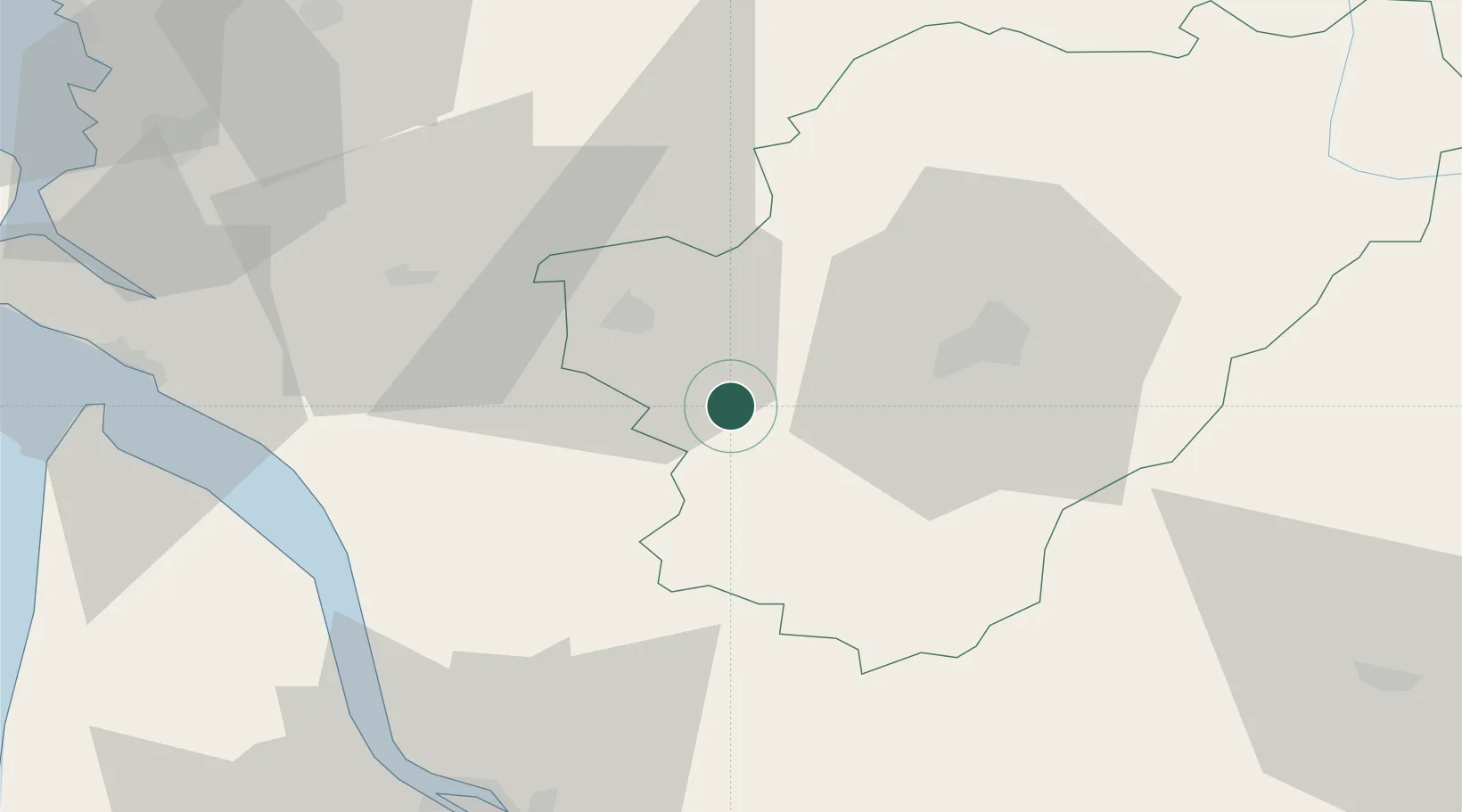
Lignières-Sonneville

45.5667°, -0.1833°
609
Population
1
Transport functions

Transport Functions

Multimodal
UN/LOCODE

Hub Profile

Place type
Populated place
GeoNames
Region
Nouvelle-Aquitaine
GeoNames
Population
609
GeoNames
Time zone
Europe/Paris
GeoNames
Elevation
59 m
GeoNames

Location

Location of FRZEX
Natural Earth 10m (public domain) · Nouvelle-Aquitaine · FRZEX · 45.57, -0.18GoogleOSMYandex

Nearby Logistics Neighbours

Cities
  1. 1Ambleville3 km
  2. 2Criteuil-la-Magdeleine5 km
  3. 3Bouteville5 km
  4. 4Verrières7 km
  5. 5Mainxe7 km
Nearest neighbours — logibook spatial index (haversine) over the source coordinates
Ports
  1. 1Pauillac60 km
  2. 2Blaye61 km
  3. 3Ambes67 km
  4. 4Le Verdon68 km
  5. 5Tonnay Charente69 km
Nearest neighbours — logibook spatial index (haversine) over the source coordinates
Airports
  1. 1Cognac-Châteaubernard (BA 709) Air Base15 km
  2. 2Angoulême Brie-Champniers airport36 km
  3. 3Royan-Médis Airport62 km
  4. 4Rochefort-Saint-Agnant (BA 721) Airport72 km
  5. 5Niort - Marais Poitevin Airport85 km
Nearest neighbours — logibook spatial index (haversine) over the source coordinates
Trade Zones
  1. 1Port de Bordeaux78 km
  2. 2ZFU Hauts de Garonne88 km
  3. 3ZFU La Rochelle104 km
  4. 4ZFU Angers215 km
  5. 5ZFU Nantes et Saint-Herblain218 km
Nearest neighbours — logibook spatial index (haversine) over the source coordinates
DatabookThe Record of Consolidated Knowledge
France beyond logistics?
Browse databook

All Sources

LocationsUN/LOCODE
UN/LOCODE — free
LocationsGeoNames
CC BY 4.0
Portsthe NGA World Port Index
Public domain (US gov)
AirportsOurAirports
Public domain
Trade Zonesthe World Bank SEZ database
CC BY 4.0
Trade ZonesOpen Zone Map
CC BY
← France locations