Transport Functions
Rail
Road
Hub Profile
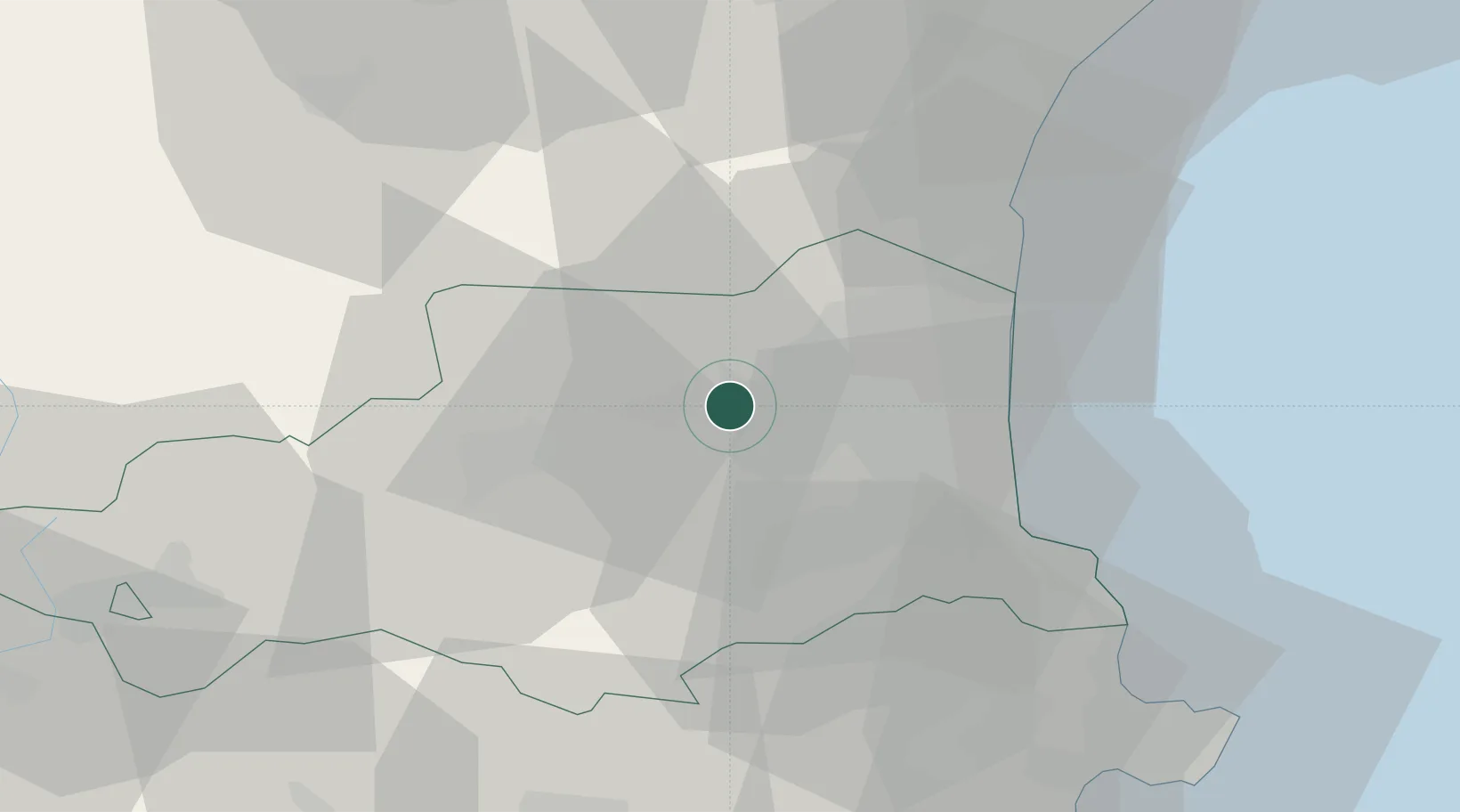
Place type
Populated place
Region
Occitanie
Population
3,789
Time zone
Europe/Paris
Elevation
108 m
Location
Nearby Logistics Neighbours
Cities
- 1Corneilla-la-Rivière3 km
- 2Saint-Féliu-d'Avall3 km
- 3Pézilla-la-Rivière5 km
- 4Montner6 km
- 5Corbère6 km
Ports
- 1Port-Vendres40 km
- 2Port-La-Nouvelle46 km
- 3Rosas62 km
- 4Palamos102 km
- 5San Feliu De Guixols106 km
Airports
Trade Zones
- 1ZFU Perpignan16 km
- 2ZFU Béziers82 km
- 3ZFU Montpellier137 km
- 4ZFU Toulouse143 km
- 5Zona Franca de Barcelona159 km
DatabookThe Record of Consolidated Knowledge
France beyond logistics?