Transport Functions
Rail
Road
Multimodal
Hub Profile
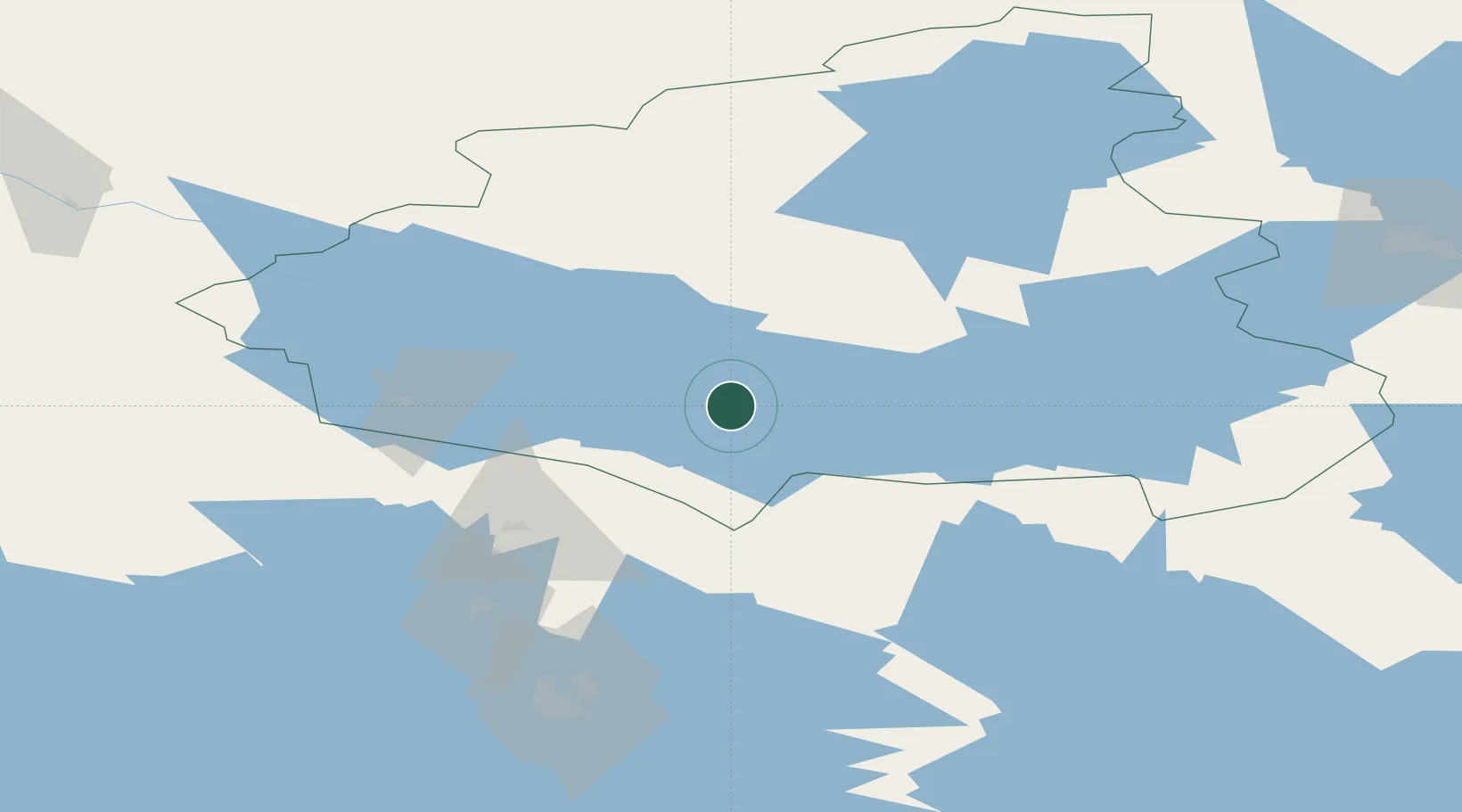
Place type
Populated place
Region
Kainuu
Population
6,183
Time zone
Europe/Helsinki
Elevation
168 m
Location
Nearby Logistics Neighbours
Cities
- 1Varpuniemi (Kello)8 km
- 2Kajaani (Kajana)30 km
- 3Otanmäki56 km
- 4Vieremä73 km
- 5Nurmes79 km
Ports
- 1Oulu169 km
- 2Raahe195 km
- 3Veitsiluoto246 km
- 4Kemi250 km
- 5Tornio266 km
Airports
- 1Kajaani Airport33 km
- 2Kuopio Airport125 km
- 3Kostomuksha Airfield130 km
- 4Oulu Airport165 km
- 5Ylivieska Airfield171 km
Trade Zones
DatabookThe Record of Consolidated Knowledge
Finland beyond logistics?