Transport Functions
Rail
Road
Airport
Hub Profile
Region
05
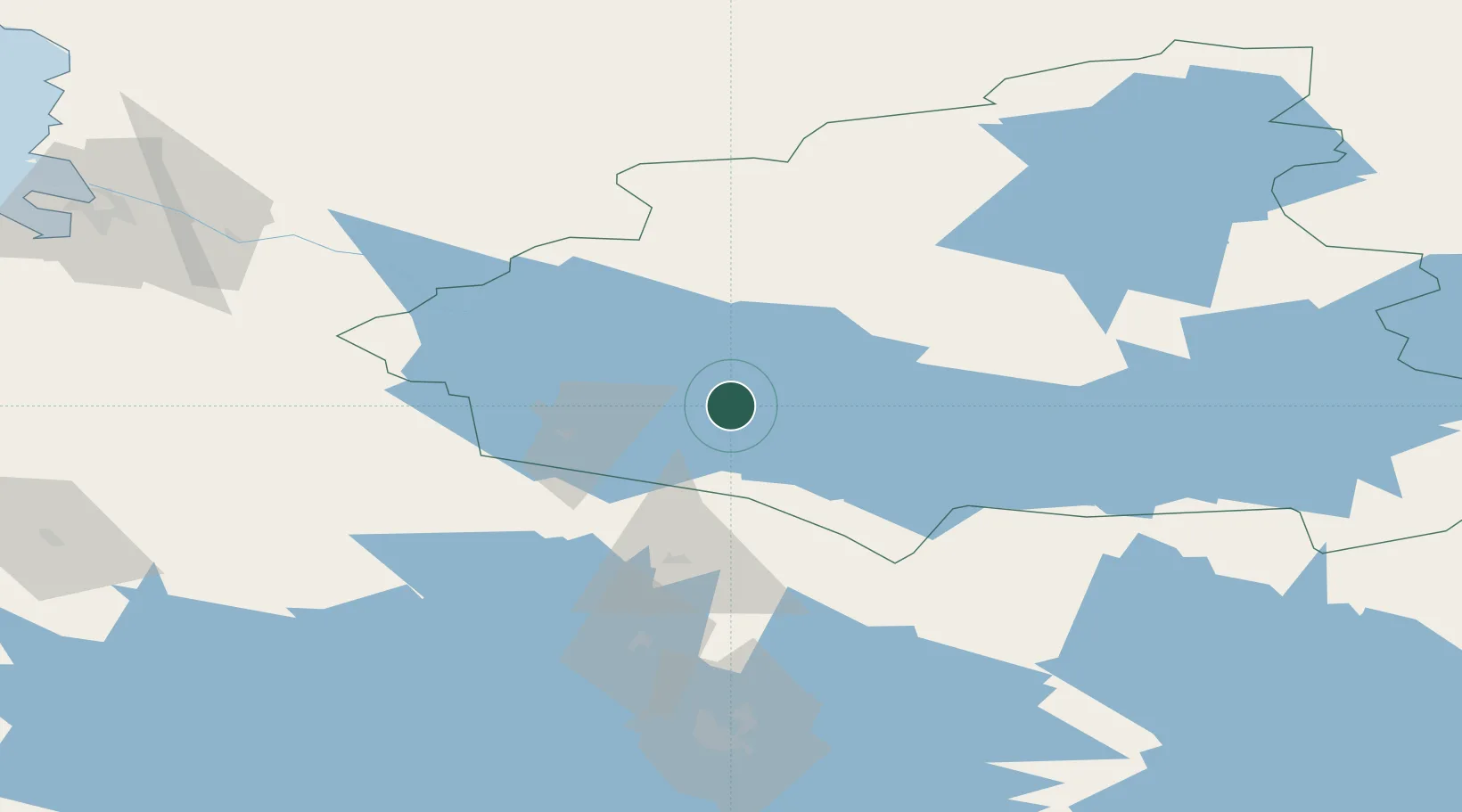
Location
Nearby Logistics Neighbours
Cities
- 1Vuokatti30 km
- 2Otanmäki31 km
- 3Varpuniemi (Kello)39 km
- 4Vieremä63 km
- 5Idensalmi (Iisalmi)80 km
Ports
- 1Oulu139 km
- 2Raahe164 km
- 3Rahja194 km
- 4Himanka198 km
- 5Veitsiluoto218 km
Airports
- 1Kajaani Airport6 km
- 2Oulu Airport136 km
- 3Kuopio Airport137 km
- 4Ylivieska Airfield145 km
- 5Kostomuksha Airfield150 km
Trade Zones
DatabookThe Record of Consolidated Knowledge
Finland beyond logistics?