Small airport · Russia

Kostomuksha AirfieldRU-0189
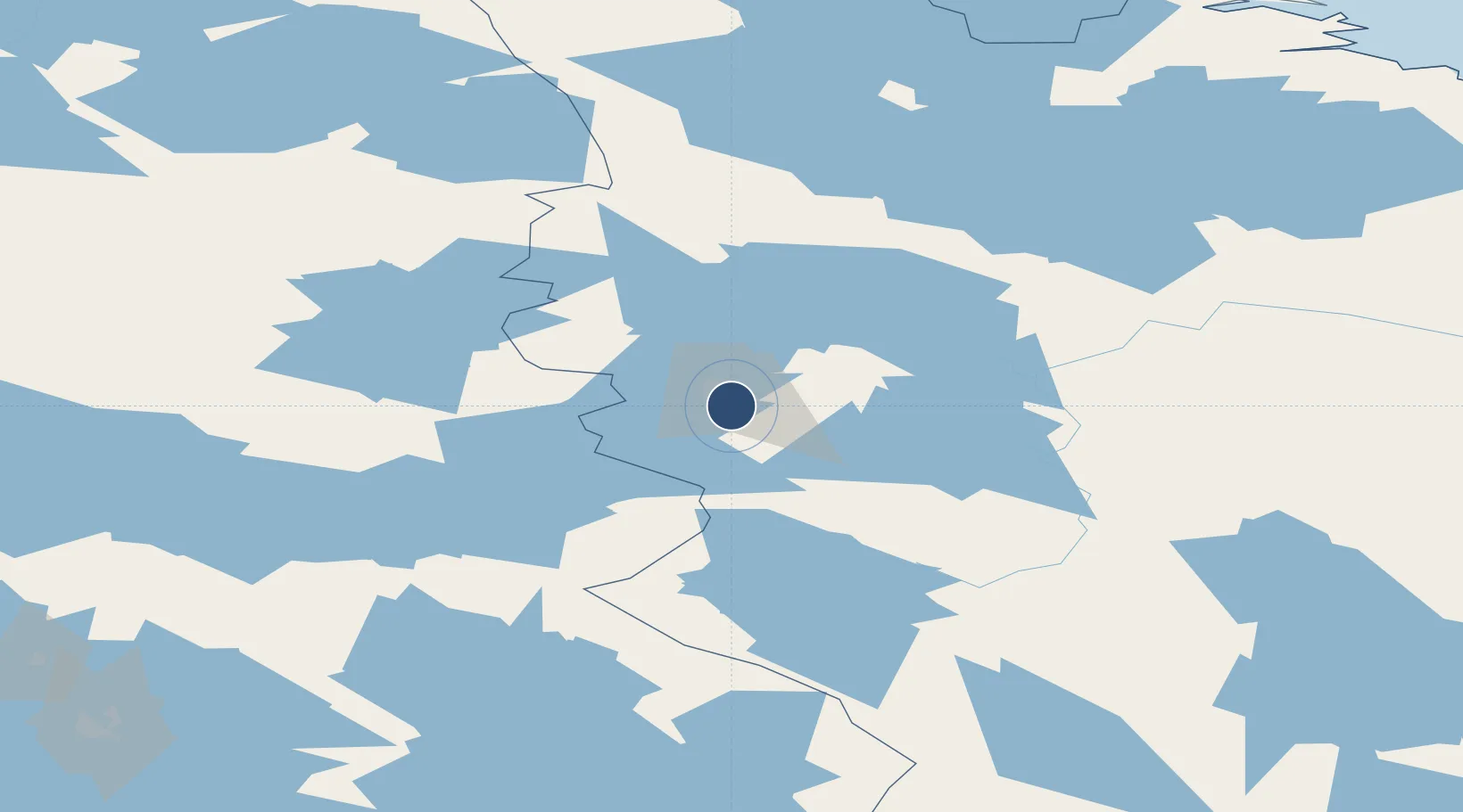
64.6180°, 30.6870°
1,970 ft
Longest runway
1
Runways
681 ft
Elevation

Runway & Layout

Kostomuksha Airfield runway & taxiway layout
Runway & taxiway layout — OpenStreetMap (ODbL) / OurAirports

Runways · 1

RunwayDimensions SurfaceTrue headingLit
08/26 1,970 × 72ft Concrete
OurAirports

Airport Specifications

Airport class
Small airport
OurAirports
Scheduled service
Yes
OurAirports
Runway surface
Concrete
OurAirports
Served city
Kostomuksha
OurAirports

Location

Location of RU-0189
Natural Earth 10m (public domain) · Karelia · RU-0189 · 64.62, 30.69GoogleOSMYandex

Nearby Logistics Neighbours

Airports
  1. 1Kajaani Airport148 km
  2. 2Kuusamo Airport167 km
  3. 3Joensuu Airport224 km
  4. 4Kuopio Airport228 km
  5. 5Solovki Airport243 km
Nearest neighbours — logibook spatial index (haversine) over the source coordinates
Cities
  1. 1Kostomuksha10 km
  2. 2Vartius36 km
  3. 3Varpuniemi (Kello)125 km
  4. 4Vuokatti130 km
  5. 5Nurmes141 km
Nearest neighbours — logibook spatial index (haversine) over the source coordinates
Ports
  1. 1Oulu254 km
  2. 2Vitino284 km
  3. 3Kandalaksha291 km
  4. 4Raahe299 km
  5. 5Veitsiluoto308 km
Nearest neighbours — logibook spatial index (haversine) over the source coordinates
Trade Zones
  1. 1Oulu Port Free Warehouse Area253 km
  2. 2Free Zone of Lappeenranta419 km
  3. 3Murmansk Special Economic Zone494 km
  4. 4Port of Hamina-Kotka500 km
  5. 5St Petersburg Technology Innovative Special Economic Zone532 km
Nearest neighbours — logibook spatial index (haversine) over the source coordinates
DatabookThe Record of Consolidated Knowledge
Russia beyond logistics?
Browse databook

All Sources

AirportsOurAirports
Public domain
Portsthe NGA World Port Index
Public domain (US gov)
LocationsUN/LOCODE
UN/LOCODE — free
Trade Zonesthe World Bank SEZ database
CC BY 4.0
Trade ZonesOpen Zone Map
CC BY
InfrastructureOpenStreetMap
ODbL 1.0
← Russia airports