UN/LOCODE hub · Finland
FIOTA

Otanmäki

64.1167°, 27.1000°
2
Transport functions

Transport Functions

Rail
Road
UN/LOCODE

Hub Profile

Region
05
GeoNames

Location

Location of FIOTA
Natural Earth 10m (public domain) · 05 · FIOTA · 64.12, 27.10GoogleOSMYandex

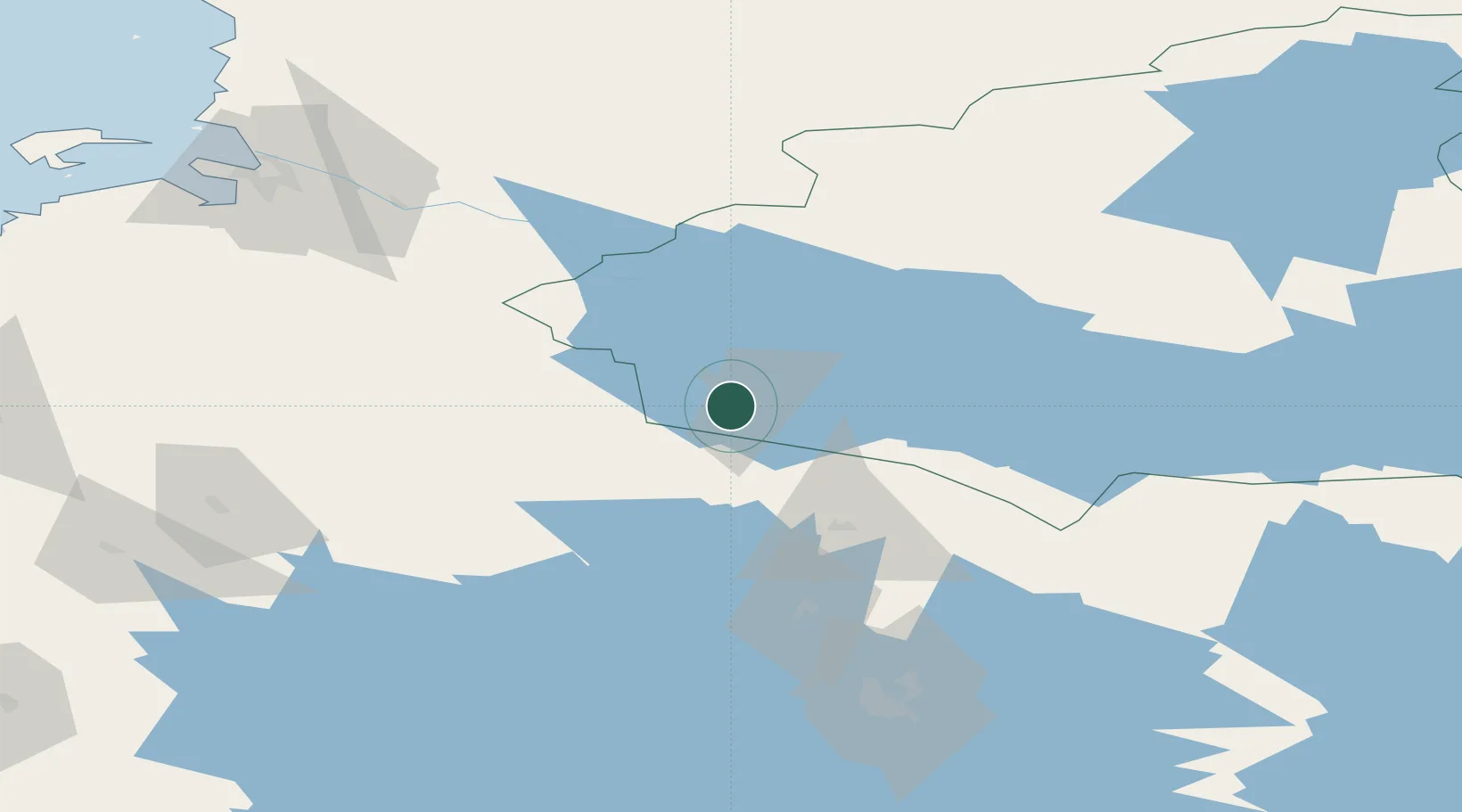
Nearby Logistics Neighbours

Cities
  1. 1Kajaani (Kajana)31 km
  2. 2Vieremä41 km
  3. 3Vuokatti56 km
  4. 4Idensalmi (Iisalmi)63 km
  5. 5Varpuniemi (Kello)63 km
Nearest neighbours — logibook spatial index (haversine) over the source coordinates
Ports
  1. 1Oulu129 km
  2. 2Raahe144 km
  3. 3Rahja166 km
  4. 4Himanka168 km
  5. 5Kokkola201 km
Nearest neighbours — logibook spatial index (haversine) over the source coordinates
Airports
  1. 1Kajaani Airport34 km
  2. 2Ylivieska Airfield116 km
  3. 3Oulu Airport123 km
  4. 4Kuopio Airport128 km
  5. 5Kostomuksha Airfield181 km
Nearest neighbours — logibook spatial index (haversine) over the source coordinates
Trade Zones
  1. 1Oulu Port Free Warehouse Area127 km
  2. 2Free Zone of Lappeenranta346 km
  3. 3Port of Hamina-Kotka406 km
  4. 4Turku Free Zone480 km
  5. 5St Petersburg Technology Innovative Special Economic Zone499 km
Nearest neighbours — logibook spatial index (haversine) over the source coordinates
DatabookThe Record of Consolidated Knowledge
Finland beyond logistics?
Browse databook

All Sources

LocationsUN/LOCODE
UN/LOCODE — free
Portsthe NGA World Port Index
Public domain (US gov)
AirportsOurAirports
Public domain
Trade Zonesthe World Bank SEZ database
CC BY 4.0
Trade ZonesOpen Zone Map
CC BY
← Finland locations