Transport Functions
Port
Rail
Road
Hub Profile
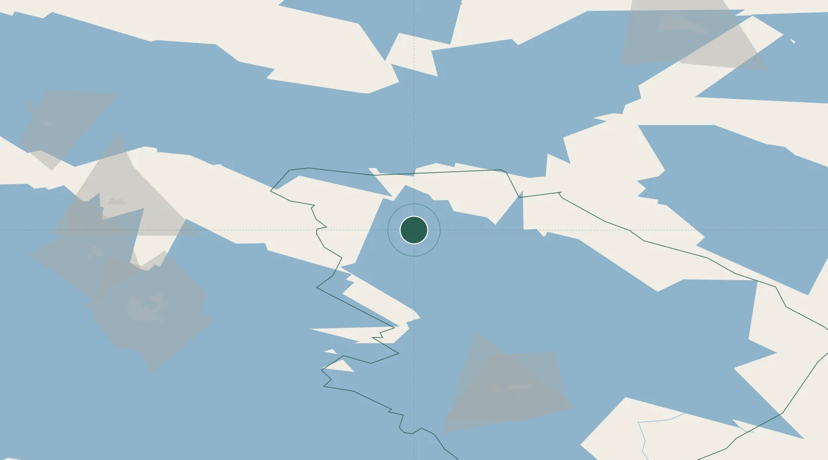
Place type
District seat
Region
North Karelia
Population
8,924
Time zone
Europe/Helsinki
Elevation
91 m
Location
Nearby Logistics Neighbours
Cities
- 1Juuka34 km
- 2Nilsia41 km
- 3Varpuniemi (Kello)72 km
- 4Varpaisjärvi73 km
- 5Haluna73 km
Ports
- 1Oulu245 km
- 2Raahe264 km
- 3Vyborg314 km
- 4Veitsiluoto324 km
- 5Gavan Vysotsk326 km
Airports
- 1Kuopio Airport90 km
- 2Joensuu Airport100 km
- 3Kajaani Airport110 km
- 4Kostomuksha Airfield141 km
- 5Kitee Airport159 km
Trade Zones
DatabookThe Record of Consolidated Knowledge
Finland beyond logistics?