Transport Functions
Multimodal
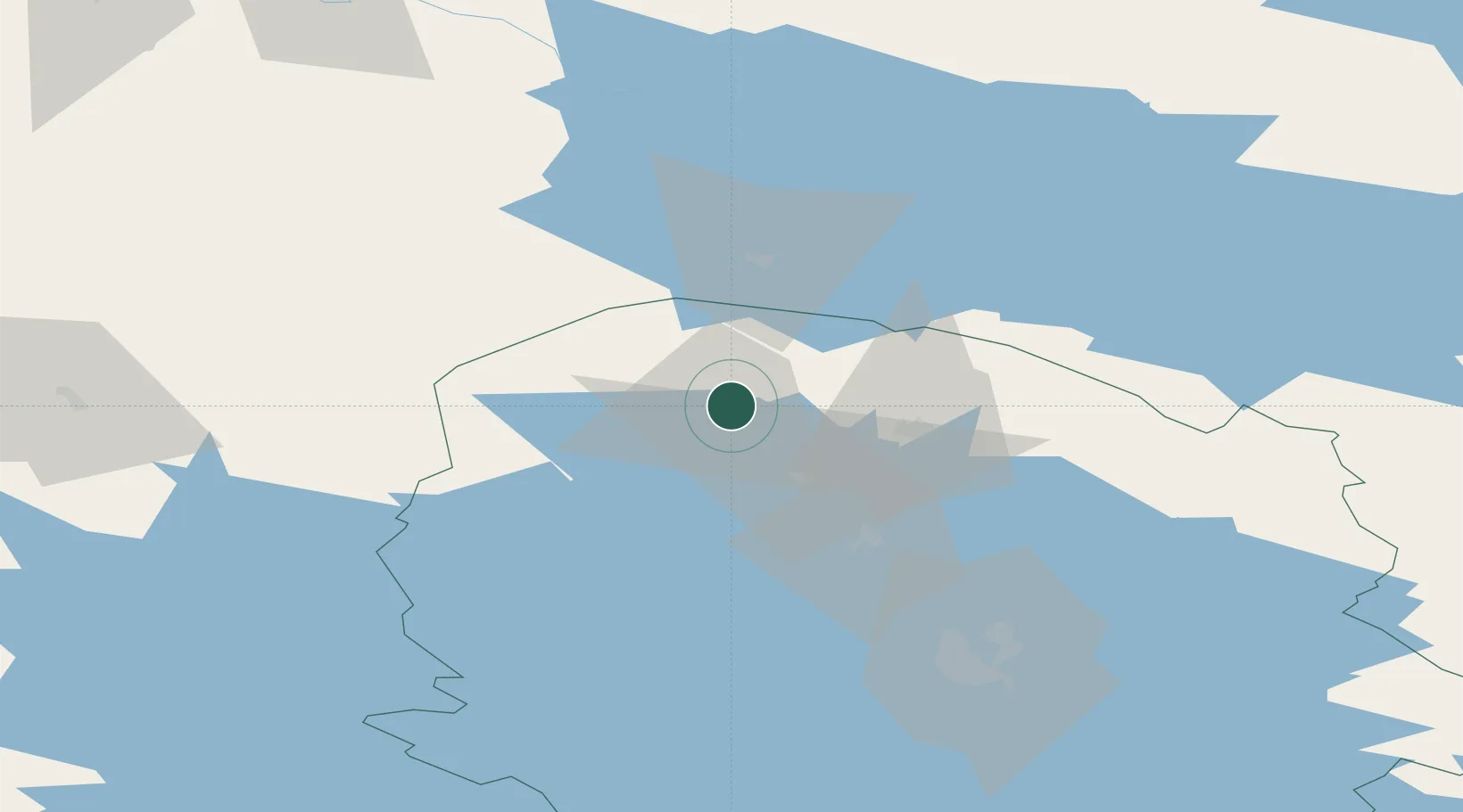
Hub Profile
Region
15
Location
Nearby Logistics Neighbours
Cities
- 1Idensalmi (Iisalmi)24 km
- 2Otanmäki41 km
- 3Lapinlahti47 km
- 4Varpaisjärvi56 km
- 5Kajaani (Kajana)63 km
Ports
- 1Oulu161 km
- 2Raahe163 km
- 3Veitsiluoto245 km
- 4Kemi249 km
- 5Tornio262 km
Airports
- 1Kajaani Airport68 km
- 2Kuopio Airport91 km
- 3Ylivieska Airfield117 km
- 4Oulu Airport154 km
- 5Jyväskylä Airport165 km
Trade Zones
DatabookThe Record of Consolidated Knowledge
Finland beyond logistics?