Transport Functions
Rail
Road
Hub Profile
Place type
District seat
Region
North Savo
Population
8,856
Time zone
Europe/Helsinki
Elevation
121 m
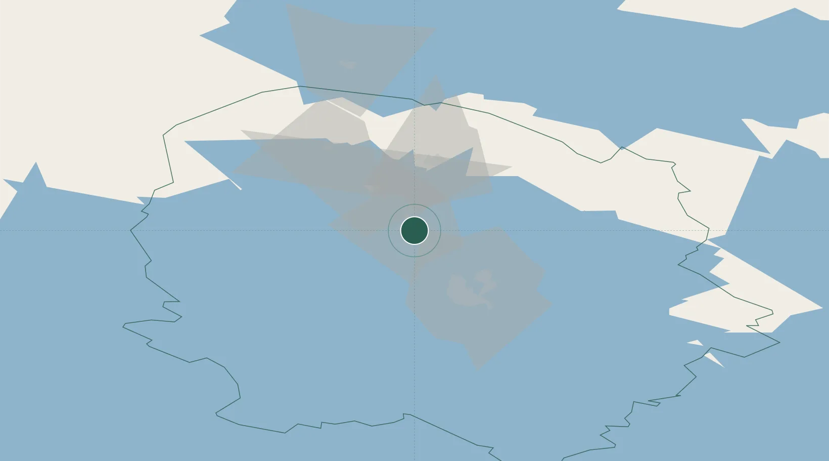
Location
Nearby Logistics Neighbours
Cities
- 1Varpaisjärvi17 km
- 2Idensalmi (Iisalmi)23 km
- 3Maaninka25 km
- 4Siilinjärvi34 km
- 5Haluna40 km
Ports
- 1Raahe206 km
- 2Oulu207 km
- 3Veitsiluoto292 km
- 4Kemi296 km
- 5Vyborg303 km
Airports
- 1Kuopio Airport45 km
- 2Kajaani Airport103 km
- 3Varkaus Airport135 km
- 4Joensuu Airport137 km
- 5Jyväskylä Airport139 km
Trade Zones
DatabookThe Record of Consolidated Knowledge
Finland beyond logistics?