Transport Functions
Port
Rail
Road
Hub Profile
Region
15
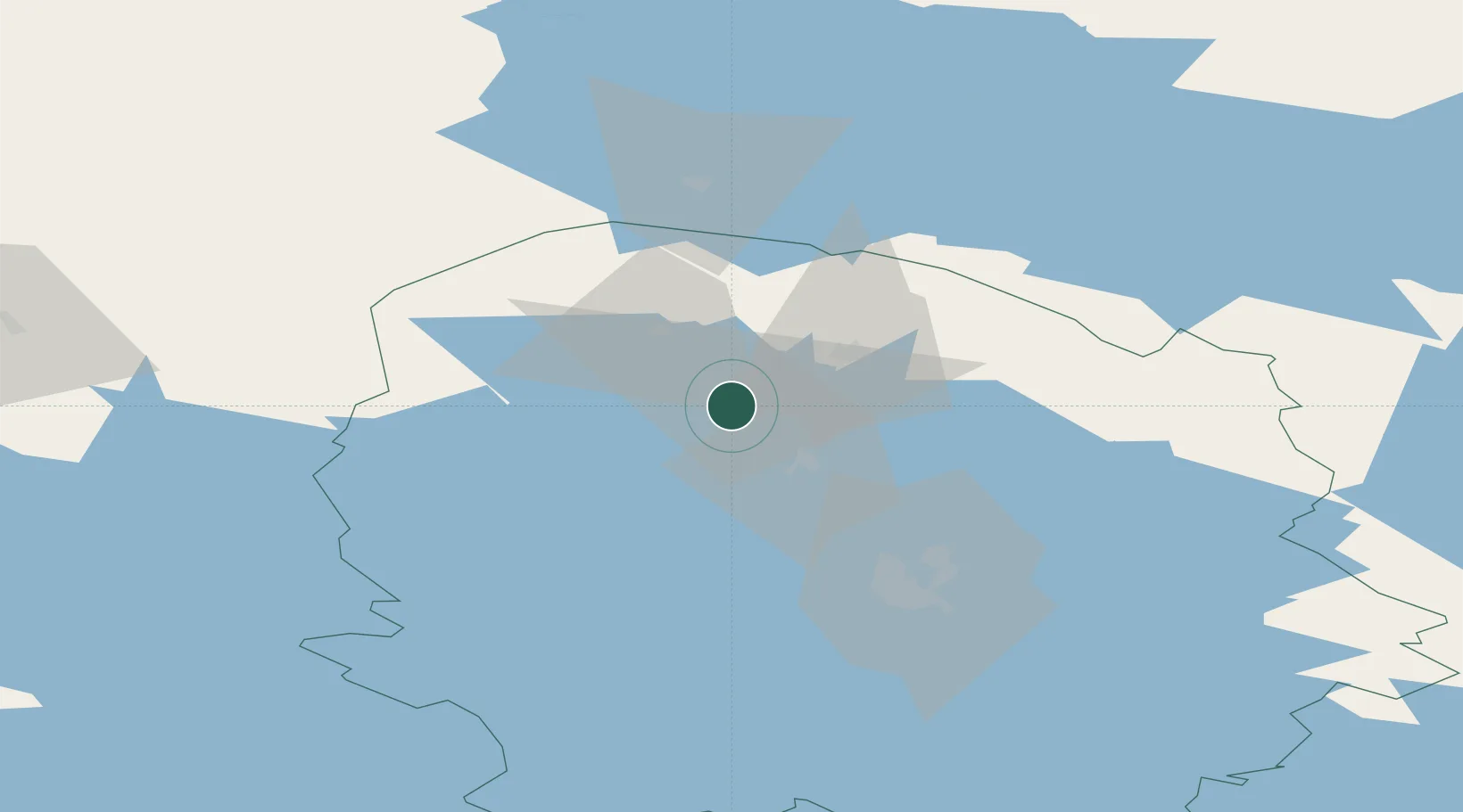
Location
Nearby Logistics Neighbours
Cities
- 1Lapinlahti23 km
- 2Vieremä24 km
- 3Varpaisjärvi35 km
- 4Maaninka45 km
- 5Siilinjärvi57 km
Ports
- 1Raahe184 km
- 2Oulu184 km
- 3Veitsiluoto269 km
- 4Kemi273 km
- 5Tornio285 km
Airports
- 1Kuopio Airport68 km
- 2Kajaani Airport86 km
- 3Ylivieska Airfield133 km
- 4Jyväskylä Airport149 km
- 5Varkaus Airport157 km
Trade Zones
DatabookThe Record of Consolidated Knowledge
Finland beyond logistics?