UN/LOCODE hub · Finland
FIFAK

Varpaisjärvi

63.3667°, 27.7500°
1
Transport functions

Transport Functions

Multimodal
UN/LOCODE

Hub Profile

Region
15
GeoNames

Location

Location of FIFAK
Natural Earth 10m (public domain) · 15 · FIFAK · 63.37, 27.75GoogleOSMYandex

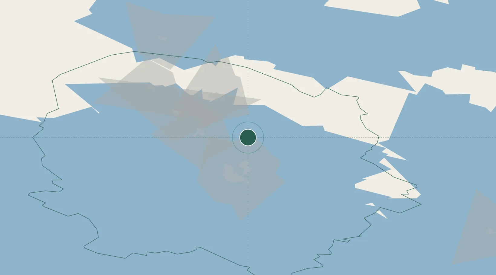
Nearby Logistics Neighbours

Cities
  1. 1Lapinlahti17 km
  2. 2Haluna29 km
  3. 3Siilinjärvi32 km
  4. 4Maaninka33 km
  5. 5Idensalmi (Iisalmi)35 km
Nearest neighbours — logibook spatial index (haversine) over the source coordinates
Ports
  1. 1Oulu216 km
  2. 2Raahe219 km
  3. 3Vyborg299 km
  4. 4Veitsiluoto300 km
  5. 5Kemi304 km
Nearest neighbours — logibook spatial index (haversine) over the source coordinates
Airports
  1. 1Kuopio Airport40 km
  2. 2Kajaani Airport102 km
  3. 3Joensuu Airport123 km
  4. 4Varkaus Airport133 km
  5. 5Jyväskylä Airport150 km
Nearest neighbours — logibook spatial index (haversine) over the source coordinates
Trade Zones
  1. 1Oulu Port Free Warehouse Area214 km
  2. 2Free Zone of Lappeenranta259 km
  3. 3Port of Hamina-Kotka325 km
  4. 4St Petersburg Technology Innovative Special Economic Zone409 km
  5. 5Turku Free Zone435 km
Nearest neighbours — logibook spatial index (haversine) over the source coordinates
DatabookThe Record of Consolidated Knowledge
Finland beyond logistics?
Browse databook

All Sources

LocationsUN/LOCODE
UN/LOCODE — free
Portsthe NGA World Port Index
Public domain (US gov)
AirportsOurAirports
Public domain
Trade Zonesthe World Bank SEZ database
CC BY 4.0
Trade ZonesOpen Zone Map
CC BY
← Finland locations