UN/LOCODE hub · Finland
FIFAG

Lestijärvi

62.5333°, 24.6500°
1
Transport functions

Transport Functions

Multimodal
UN/LOCODE

Hub Profile

Region
07
GeoNames

Location

Location of FIFAG
Natural Earth 10m (public domain) · 07 · FIFAG · 62.53, 24.65GoogleOSMYandex

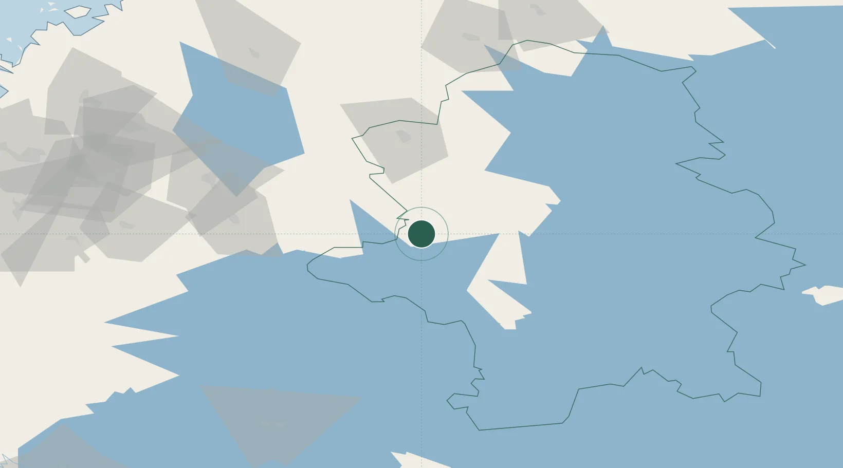
Nearby Logistics Neighbours

Cities
  1. 1Multia15 km
  2. 2Kolho45 km
  3. 3Kintaus45 km
  4. 4Tuuri47 km
  5. 5Tikkakoski53 km
Nearest neighbours — logibook spatial index (haversine) over the source coordinates
Ports
  1. 1Hellnas148 km
  2. 2Nykarleby153 km
  3. 3Kantlax155 km
  4. 4Pietarsaari162 km
  5. 5Kokkola168 km
Nearest neighbours — logibook spatial index (haversine) over the source coordinates
Airports
  1. 1Jyväskylä Airport55 km
  2. 2Halli Airport76 km
  3. 3Seinäjoki Airport95 km
  4. 4Kauhava Airfield105 km
  5. 5Kauhajoki Airfield116 km
Nearest neighbours — logibook spatial index (haversine) over the source coordinates
Trade Zones
  1. 1Free Zone of Lappeenranta246 km
  2. 2Port of Hamina-Kotka260 km
  3. 3Turku Free Zone266 km
  4. 4Oulu Port Free Warehouse Area277 km
  5. 5Freeport of Hanko315 km
Nearest neighbours — logibook spatial index (haversine) over the source coordinates
DatabookThe Record of Consolidated Knowledge
Finland beyond logistics?
Browse databook

All Sources

LocationsUN/LOCODE
UN/LOCODE — free
Portsthe NGA World Port Index
Public domain (US gov)
AirportsOurAirports
Public domain
Trade Zonesthe World Bank SEZ database
CC BY 4.0
Trade ZonesOpen Zone Map
CC BY
← Finland locations