Transport Functions
Port
Road
Hub Profile
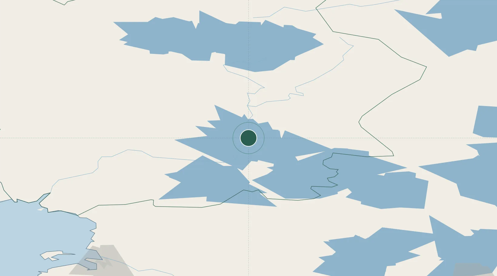
Place type
Populated place
Region
Lapland
Time zone
Europe/Helsinki
Elevation
155 m
Location
Nearby Logistics Neighbours
Cities
- 1Rovaniemi81 km
- 2Taivalkoski129 km
- 3Veitsiluoto170 km
- 4Ajos174 km
- 5Kemi/Torneå (Kemi/Tornio)176 km
Ports
- 1Kemi169 km
- 2Veitsiluoto169 km
- 3Tornio181 km
- 4Sandvik198 km
- 5Oulu209 km
Airports
- 1Rovaniemi Airport75 km
- 2Sodankyla Airport88 km
- 3Kuusamo Airport110 km
- 4Kittilä International Airport161 km
- 5Kemi-Tornio Airport165 km
Trade Zones
- 1Oulu Port Free Warehouse Area210 km
- 2Murmansk Special Economic Zone345 km
- 3Free Zone of Lappeenranta628 km
- 4Port of Hamina-Kotka692 km
- 5Turku Free Zone741 km
DatabookThe Record of Consolidated Knowledge
Finland beyond logistics?