Transport Functions
Rail
Road
Border Crossing
Hub Profile
Place type
Populated place
Region
Kainuu
Time zone
Europe/Helsinki
Elevation
164 m
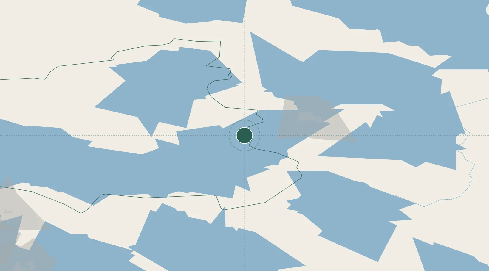
Location
Nearby Logistics Neighbours
Cities
- 1Kostomuksha45 km
- 2Varpuniemi (Kello)89 km
- 3Vuokatti94 km
- 4Kajaani (Kajana)115 km
- 5Nurmes115 km
Ports
- 1Oulu225 km
- 2Raahe266 km
- 3Veitsiluoto284 km
- 4Kemi288 km
- 5Tornio306 km
Airports
- 1Kostomuksha Airfield36 km
- 2Kajaani Airport113 km
- 3Kuusamo Airport169 km
- 4Kuopio Airport198 km
- 5Joensuu Airport206 km
Trade Zones
DatabookThe Record of Consolidated Knowledge
Finland beyond logistics?