Transport Functions
Multimodal
Hub Profile
Place type
Populated place
Region
North Savo
Time zone
Europe/Helsinki
Elevation
93 m
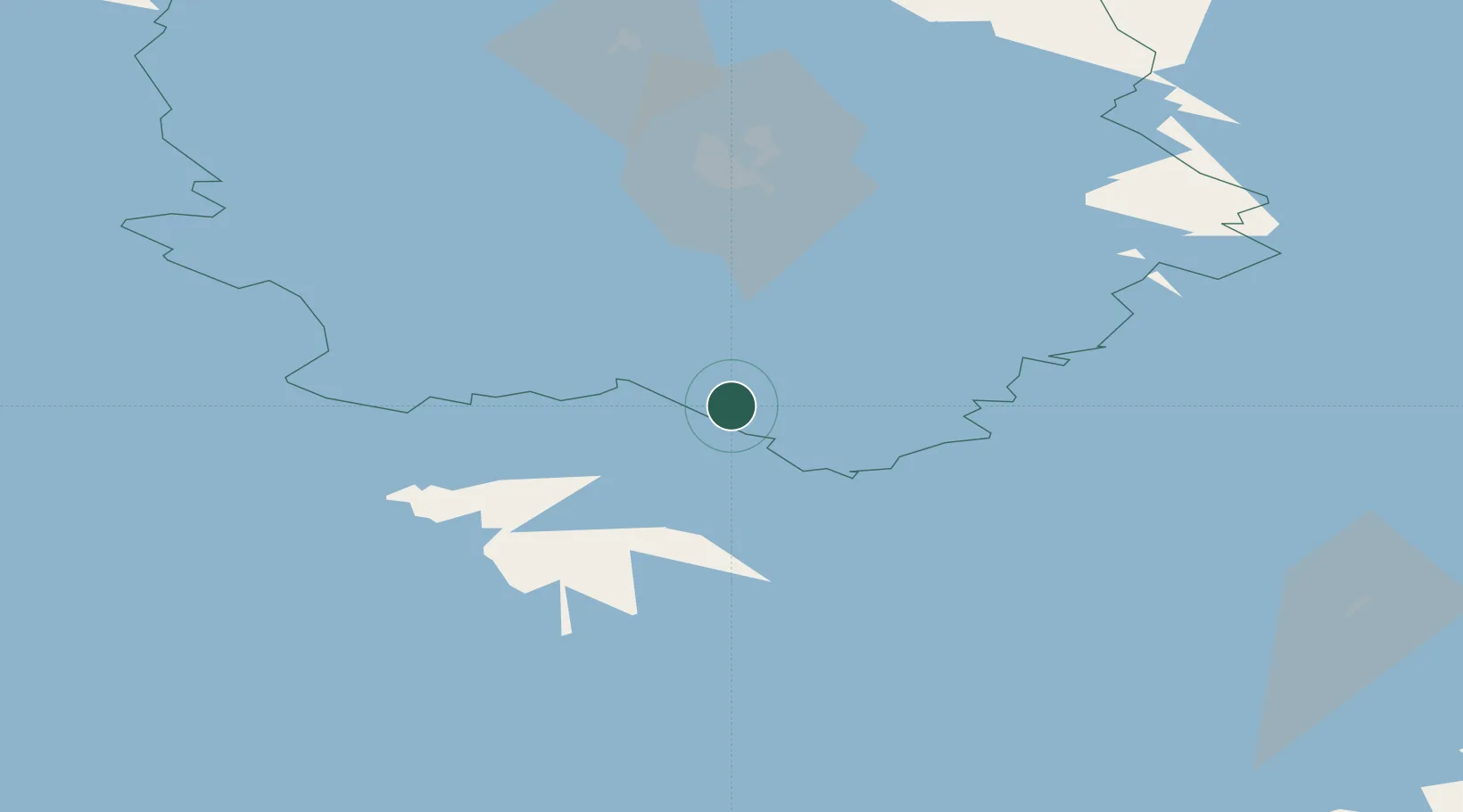
Location
Nearby Logistics Neighbours
Cities
- 1Niirala9 km
- 2Varkaus20 km
- 3Naarajärvi35 km
- 4Kuopio48 km
- 5Haukivuori53 km
Ports
- 1Vyborg201 km
- 2Gavan Vysotsk210 km
- 3Hamina211 km
- 4Kotka224 km
- 5Loviisa235 km
Airports
- 1Varkaus Airport33 km
- 2Kuopio Airport62 km
- 3Savonlinna Airport88 km
- 4Mikkeli Airport88 km
- 5Jyväskylä Airport102 km
Trade Zones
DatabookThe Record of Consolidated Knowledge
Finland beyond logistics?