Transport Functions
Rail
Road
Border Crossing
Hub Profile
Place type
Populated place
Region
North Savo
Time zone
Europe/Helsinki
Elevation
100 m
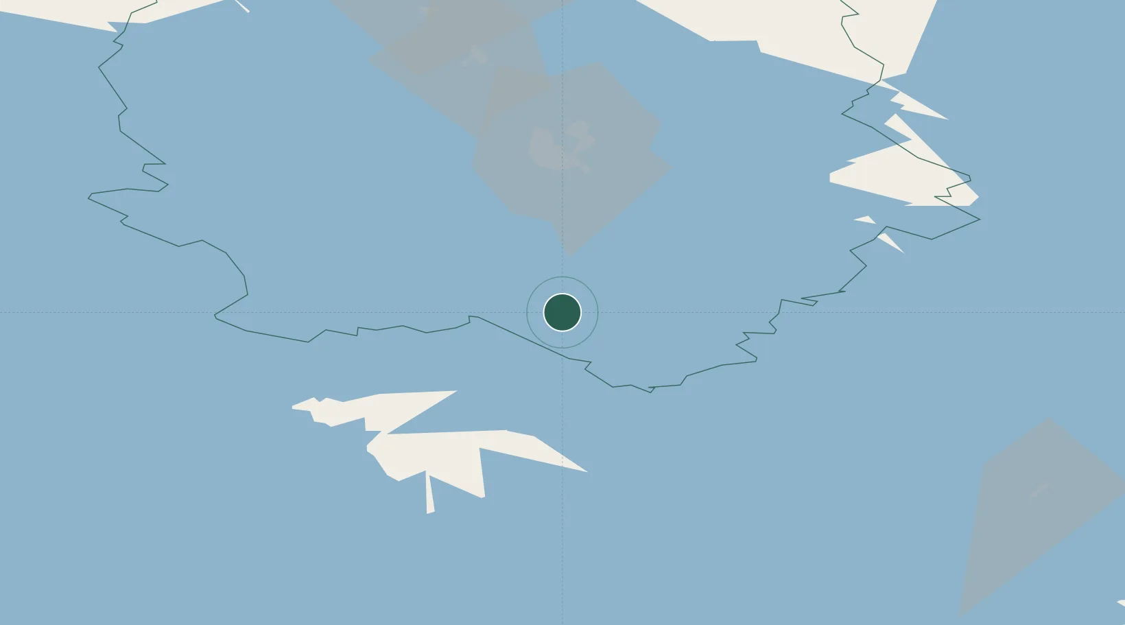
Location
Nearby Logistics Neighbours
Cities
- 1Sorsakoski9 km
- 2Varkaus27 km
- 3Kuopio39 km
- 4Naarajärvi41 km
- 5Siilinjärvi61 km
Ports
- 1Vyborg210 km
- 2Gavan Vysotsk218 km
- 3Hamina220 km
- 4Kotka233 km
- 5Loviisa244 km
Airports
- 1Varkaus Airport42 km
- 2Kuopio Airport53 km
- 3Savonlinna Airport93 km
- 4Mikkeli Airport97 km
- 5Joensuu Airport101 km
Trade Zones
DatabookThe Record of Consolidated Knowledge
Finland beyond logistics?